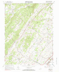
1966 Map of Conicville
USGS Topo · Published 1984About this map
Columbia Furnace and the Old Iron Furnace anchor the northeastern landscape of this Shenandoah Valley region, signaling a history of early industry among the ridges. The terrain is defined by a series of parallel elevations, including Supiner Ridge, Cabin Hill, and Mikes Ridge, which channel local waterways like Stony Creek and Swover Creek. This area is densely populated with community markers, including a notable concentration of country churches such as St Jacobs Ch, Bethel Ch, and Otterbein Chapel.
Find a feature on this map
60 named features on this map. Tap any name to fly to it.
Don’t see what you’re looking for? This feature index may not catch every label — zoom into the map to look around manually.
Map Details
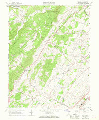
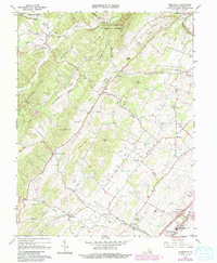
Editions of this 1966 Conicville Map
3 editions found
Other maps of this area

1892 · Woodstock
USGS Topo · 1:125,000

1921 · Orkney Springs
USGS Topo · 1:48,000

1923 · Orkney Springs
USGS Topo · 1:62,500

1923 · Edinburg
USGS Topo · 1:62,500

1940 · Orkney Springs
USGS Topo · 1:48,000

1942 · Mt Jackson
USGS Topo · 1:62,500

1943 · Orkney Springs
USGS Topo · 1:62,500

1944 · Orkney Springs
USGS Topo · 1:62,500

1946 · Mt Jackson
USGS Topo · 1:62,500

1947 · Mt Jackson
USGS Topo · 1:62,500