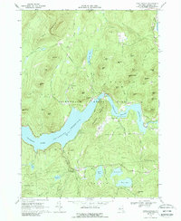
1966 Map of Conklingville
USGS Topo · Published 1989About this map
Sacandaga Reservoir dominates the landscape of Saratoga County in this mid-1960s survey, representing a significant engineered transformation of the upper Sacandaga River valley. The map centers on the Conklingville Dam, the critical infrastructure that created the reservoir to control flooding downstream on the Hudson River. This engineering feat redefined the geography of the surrounding towns of Day, Edinburg, Hadley, and Corinth, flooding old valley floors and creating new shorelines along the base of peaks like Woodcock Mountain and Waite Mtn. Small settlements such as Conklingville, Allentown, and Overlook appear as established communities on the periphery of the high-water line. To the south, a cluster of smaller natural water bodies, including Efner Lake, Jenny Lake, and Hunt Lake, offer a contrast to the massive scale of the man-made reservoir. This survey documents the area as a developed recreation and water-management hub within the Adirondack State Park.
Find a feature on this map
61 named features on this map. Tap any name to fly to it.
Don’t see what you’re looking for? This feature index may not catch every label — zoom into the map to look around manually.
Map Details
Editions of this 1966 Conklingville Map
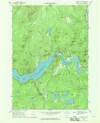
2 editions found
Other maps of this area

1899 · Broadalbin
USGS Topo · 1:62,500

1902 · Broadalbin
USGS Topo · 1:62,500

1902 · Saratoga
USGS Topo · 1:62,500

1903 · Luzerne
USGS Topo · 1:62,500

1910 · Stony Creek
USGS Topo · 1:62,500

1935 · Corinth
USGS Topo · 1:24,000

1942 · Saratoga
USGS Topo · 1:62,500

1945 · Edinburg
USGS Topo · 1:24,000
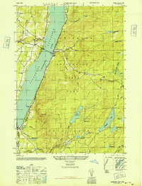
1946 · Edinburg
USGS Topo · 1:24,000
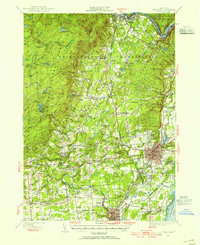
1947 · Saratoga
USGS Topo · 1:62,500