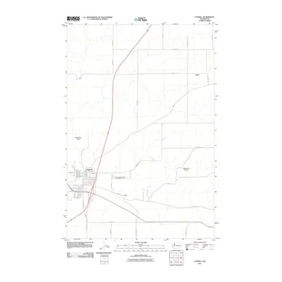
2011 Map of Connell
USGS Topo · Published 2011About this map
Connell stands as the central hub of this Franklin County landscape, where a dense grid of residential streets like W Adams St and N Chelan Ave meets the essential transport corridors of the region. The map illustrates a high-desert environment defined by significant geological depressions, including the prominent Providence Coulee to the west and the winding Rattlesnake Canyon to the east. These natural features dictate the placement of rural infrastructure, such as the Connell City Airport and the network of long-distance county roads like Hatton Rd and S Lobe Rd. Small outlying points of interest including Emery, Myers, and Curry mark the sparse but steady agricultural and rail-related footprint across the plateau. This 2011 edition provides a clear record of the intersection between urban development and the vast, dry drainages characteristic of this portion of Washington.
Find a feature on this map
55 named features on this map. Tap any name to fly to it.
Don’t see what you’re looking for? This feature index may not catch every label — zoom into the map to look around manually.
Map Details
Editions of this 2011 Connell Map
This is the sole edition of this map. No revisions or reprints were ever made.
Other maps of this area

1916 · Connell
USGS Topo · 1:125,000

1918 · Connell
USGS Topo · 1:125,000

1953 · Walla Walla
USGS Topo · 1:250,000

1958 · Walla Walla
USGS Topo · 1:250,000
1970 · Burr Canyon
USGS Topo · 1:24,000
1970 · Mesa East
USGS Topo · 1:24,000
1970 · Frischknecht
USGS Topo · 1:24,000

1970 · Lind SW
USGS Topo · 1:24,000
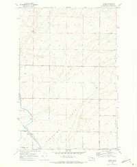
1970 · Shano
USGS Topo · 1:24,000
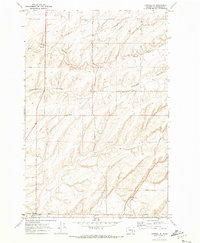
1970 · Connell SE
USGS Topo · 1:24,000