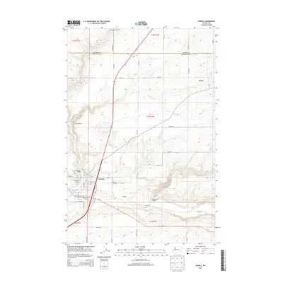
2014 Map of Connell
USGS Topo · Published 2014About this map
Connell serves as the focal point for this Franklin County landscape, where the town’s grid is centered at the junction of several prominent dry watercourses. The town is situated at the confluence of Providence Coulee, Esquatzel Coulee, and Washtucna Coulee, highlighting the unique geomorphology of the Columbia Basin. The surrounding agricultural highlands are dotted with smaller settlements and sidings like Emery to the northwest and Curry and Myers to the east. Transportation networks, including the Wa-260 and various county roads like S Roxboro Rd and Myers Rd, reflect the region's reliance on connecting remote farmsteads to the central hub. The Connell City Airport stands as a notable landmark just east of the main settlement, while the terrain to the south is defined by the winding path of Rattlesnake Canyon.
Find a feature on this map
50 named features on this map. Tap any name to fly to it.
Don’t see what you’re looking for? This feature index may not catch every label — zoom into the map to look around manually.
Map Details
Editions of this 2014 Connell Map
This is the sole edition of this map. No revisions or reprints were ever made.
Other maps of this area

1916 · Connell
USGS Topo · 1:125,000

1918 · Connell
USGS Topo · 1:125,000

1953 · Walla Walla
USGS Topo · 1:250,000

1958 · Walla Walla
USGS Topo · 1:250,000
1970 · Burr Canyon
USGS Topo · 1:24,000
1970 · Mesa East
USGS Topo · 1:24,000
1970 · Frischknecht
USGS Topo · 1:24,000

1970 · Lind SW
USGS Topo · 1:24,000
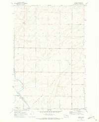
1970 · Shano
USGS Topo · 1:24,000
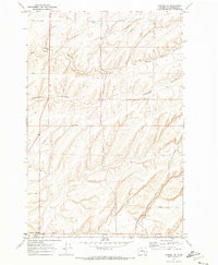
1970 · Connell SE
USGS Topo · 1:24,000