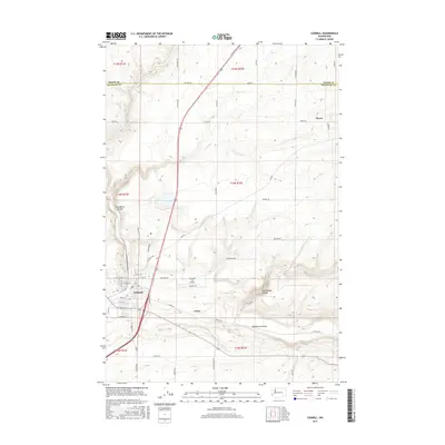
2017 Map of Connell
USGS Topo · Published 2017About this map
Connell serves as the primary hub in this agricultural region of Washington, situated at a strategic junction near the Adams Co and Franklin Co border. The landscape is defined by its dramatic geological features, specifically the winding paths of Providence Coulee and Washtucna Coulee, which cut through the high plains. These coulees, along with Rattlesnake Canyon, speak to the area’s prehistoric flood history, creating a distinct topographical contrast with the surrounding level farmland. Smaller settlements like Myers and local transit hubs such as the Connell City Airport are scattered across the grid-patterned road system. The map reveals a highly developed rural infrastructure where long, straight routes like Fishook Elgin Rd and Havlina Rd connect isolated homesteads and farms to the town center.
Find a feature on this map
53 named features on this map. Tap any name to fly to it.
Don’t see what you’re looking for? This feature index may not catch every label — zoom into the map to look around manually.
Map Details
Editions of this 2017 Connell Map
This is the sole edition of this map. No revisions or reprints were ever made.
Other maps of this area

1916 · Connell
USGS Topo · 1:125,000

1918 · Connell
USGS Topo · 1:125,000

1953 · Walla Walla
USGS Topo · 1:250,000

1958 · Walla Walla
USGS Topo · 1:250,000
1970 · Burr Canyon
USGS Topo · 1:24,000
1970 · Mesa East
USGS Topo · 1:24,000
1970 · Frischknecht
USGS Topo · 1:24,000

1970 · Lind SW
USGS Topo · 1:24,000
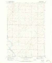
1970 · Shano
USGS Topo · 1:24,000
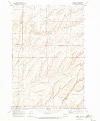
1970 · Connell SE
USGS Topo · 1:24,000