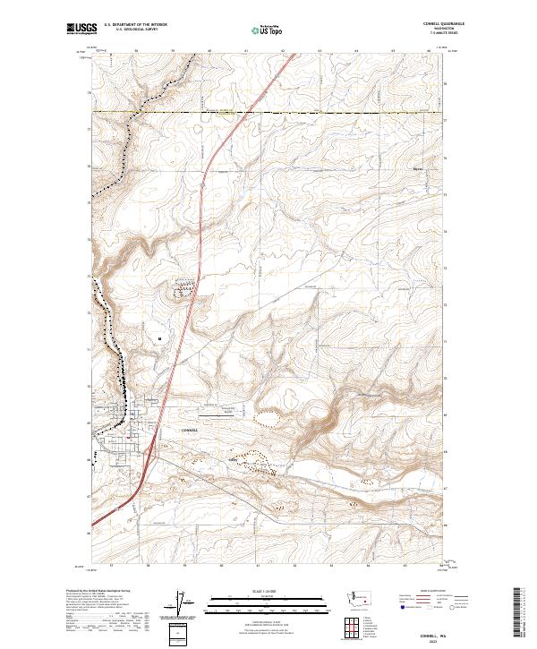
2023 Map of Connell
USGS Topo · Published 2023About this map
Connell serves as the primary hub of this eastern Washington landscape, where the town layout is defined by a series of coulees and intersecting transport corridors. The street grid, including N Columbia Ave and Ephrata Ave, is constrained by the natural depression of Esquatzel Coulee, which cuts through the heart of the settlement. To the east, the terrain is marked by the deep incision of Rattlesnake Canyon and the broad path of Washtucna Coulee, reflecting a geologic history of massive glacial drainage that shaped this part of Adams and Franklin Counties.
Find a feature on this map
53 named features on this map. Tap any name to fly to it.
Don’t see what you’re looking for? This feature index may not catch every label — zoom into the map to look around manually.
Map Details
Editions of this 2023 Connell Map
This is the sole edition of this map. No revisions or reprints were ever made.
Other maps of this area

1916 · Connell
USGS Topo · 1:125,000

1918 · Connell
USGS Topo · 1:125,000

1953 · Walla Walla
USGS Topo · 1:250,000

1958 · Walla Walla
USGS Topo · 1:250,000
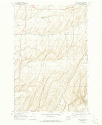
1970 · Burr Canyon
USGS Topo · 1:24,000
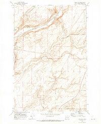
1970 · Mesa East
USGS Topo · 1:24,000
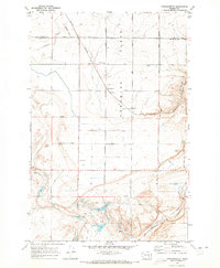
1970 · Frischknecht
USGS Topo · 1:24,000

1970 · Lind SW
USGS Topo · 1:24,000
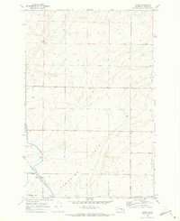
1970 · Shano
USGS Topo · 1:24,000
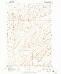
1970 · Connell SE
USGS Topo · 1:24,000