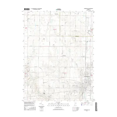
2016 Map of Connersville
USGS Topo · Published 2016About this map
Connersville serves as the industrial and residential hub of this Fayette County landscape, situated along the historic path of the Whitewater Canal and the Whitewater River. The map illustrates a well-defined grid in the city center, which gives way to a network of rural county roads connecting outlying settlements like Bentonville and Harrisburg. For those researching local history, the sheet identifies numerous small family and community burial grounds, including Manlove Cem, Thomas Cem, and Martin Cem, alongside prominent houses of worship such as Bentonville Church and Wiley Chapel. North of the city, the landscape is punctuated by aviation landmarks like Mettel Field and Dungan Airport. The transition from the urban density of Huber and the Connersville core to the agricultural expanses surrounding Beesons reflects the enduring rural character of eastern Indiana during the mid-2010s.
Find a feature on this map
152 named features on this map. Tap any name to fly to it.
Don’t see what you’re looking for? This feature index may not catch every label — zoom into the map to look around manually.
Map Details
Editions of this 2016 Connersville Map
This is the sole edition of this map. No revisions or reprints were ever made.
Other maps of this area

1948 · Lewisville
USGS Topo · 1:24,000

1950 · Lewisville
USGS Topo · 1:24,000

1953 · Cincinnati
USGS Topo · 1:250,000

1956 · Everton
USGS Topo · 1:24,000

1956 · Alpine
USGS Topo · 1:24,000

1956 · Brownsville
USGS Topo · 1:24,000

1956 · Connersville
USGS Topo · 1:24,000

1957 · Cincinnati
USGS Topo · 1:250,000

1959 · New Salem
USGS Topo · 1:24,000

1959 · Falmouth
USGS Topo · 1:24,000