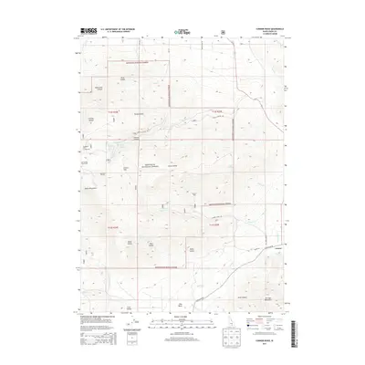
2013 Map of Connor Ridge
USGS Topo · Published 2013About this map
Sawtooth National Forest dominates this landscape in southern Idaho, where the high peaks of the Albion Mountains and the Jim Sage Mountains meet. The map reveals a high-altitude terrain defined by series of named drainages like Cassia Cr and Connor Cr, which flow from deep canyons and hollows such as Howell Canyon and Broad Hollow. The presence of the Melcher Mine east of Connor Ridge points to the area's mineral history, while recreation is represented by the Pomerelle Ski Area and Thompson Flat Campground located near the western boundary.
Find a feature on this map
50 named features on this map. Tap any name to fly to it.
Don’t see what you’re looking for? This feature index may not catch every label — zoom into the map to look around manually.
Map Details
Editions of this 2013 Connor Ridge Map
This is the sole edition of this map. No revisions or reprints were ever made.
Other maps of this area

1954 · Pocatello
USGS Topo · 1:250,000

1958 · Pocatello
USGS Topo · 1:250,000

1964 · View
USGS Topo · 1:24,000

1968 · Cache Peak
USGS Topo · 1:24,000

1968 · Idahome
USGS Topo · 1:24,000

1968 · Elba
USGS Topo · 1:24,000

1968 · Kane Canyon
USGS Topo · 1:24,000

1968 · Mount Harrison
USGS Topo · 1:24,000

1968 · Nibbs Creek
USGS Topo · 1:24,000

1968 · Albion
USGS Topo · 1:24,000