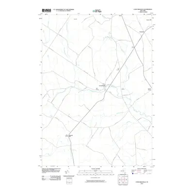
2010 Map of Constableville
USGS Topo · Published 2010About this map
Constableville serves as the central hub for this portion of Lewis County, situated at the confluence of the West Branch Sugar River and the main course of the Sugar River. The landscape is defined by the transition from the eastern slopes of Tug Hill toward the Black River valley. This 2010 survey highlights a community anchored by tradition, with numerous cemeteries including Rural Cemetery, Saint Marys Cemetery, and Saint Pauls Cemetery marking the local genealogy.
Find a feature on this map
62 named features on this map. Tap any name to fly to it.
Don’t see what you’re looking for? This feature index may not catch every label — zoom into the map to look around manually.
Map Details
Editions of this 2010 Constableville Map
This is the sole edition of this map. No revisions or reprints were ever made.
Other maps of this area

1904 · Boonville
USGS Topo · 1:62,500

1905 · Port Leyden
USGS Topo · 1:62,500

1905 · Taberg
USGS Topo · 1:62,500

1906 · Highmarket
USGS Topo · 1:62,500

1907 · Port Leyden
USGS Topo · 1:62,500

1940 · Port Leyden
USGS Topo · 1:62,500

1943 · High Market
USGS Topo · 1:24,000
1943 · Page
USGS Topo · 1:24,000
1944 · Page
USGS Topo · 1:31,680

1944 · Point Rock
USGS Topo · 1:31,680