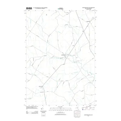
2013 Map of Constableville
USGS Topo · Published 2013About this map
Constableville serves as the primary focal point of this Lewis County landscape, situated at the confluence of several local routes and the winding Sugar River. The village is characterized by its concentrations of community landmarks, including Saint Marys Cem and the Rural Cem. To the north, Collinsville and Potters Corners mark smaller settlement nodes along the road network, while Mohawk Hill rises to the south near Saint Michaels Cem. The topography is defined by the transition toward the elevated Tug Hill region in the northwest. A complex drainage system feeds the local economy and geography, with the White River, Olmstead Brook, and Stucky Cr carving through the terrain. The map details a dense network of local roads like Crofoot Hill Rd and State Truck Trl, which connect these rural communities across the rolling upstate New York countryside.
Find a feature on this map
78 named features on this map. Tap any name to fly to it.
Don’t see what you’re looking for? This feature index may not catch every label — zoom into the map to look around manually.
Map Details
Editions of this 2013 Constableville Map
This is the sole edition of this map. No revisions or reprints were ever made.
Other maps of this area

1904 · Boonville
USGS Topo · 1:62,500

1905 · Port Leyden
USGS Topo · 1:62,500

1905 · Taberg
USGS Topo · 1:62,500

1906 · Highmarket
USGS Topo · 1:62,500

1907 · Port Leyden
USGS Topo · 1:62,500

1940 · Port Leyden
USGS Topo · 1:62,500

1943 · High Market
USGS Topo · 1:24,000
1943 · Page
USGS Topo · 1:24,000
1944 · Page
USGS Topo · 1:31,680

1944 · Point Rock
USGS Topo · 1:31,680