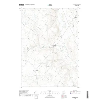
2019 Map of Constableville
USGS Topo · Published 2019About this map
Sugar River and its multiple branches, including the N Br Sugar River and W Br Sugar River, define the drainage of this portion of Lewis County. The settlement of Constableville serves as a central point, situated near the intersection of several local roads such as W Main St and James St. The area's spiritual and genealogical history is well-represented by numerous burial grounds, including Saint Marys Cem and Rural Cem near the town center, as well as Saint Michaels Cem further south in Mohawk Hill.
Find a feature on this map
71 named features on this map. Tap any name to fly to it.
Don’t see what you’re looking for? This feature index may not catch every label — zoom into the map to look around manually.
Map Details
Editions of this 2019 Constableville Map
This is the sole edition of this map. No revisions or reprints were ever made.
Other maps of this area

1904 · Boonville
USGS Topo · 1:62,500

1905 · Port Leyden
USGS Topo · 1:62,500

1905 · Taberg
USGS Topo · 1:62,500

1906 · Highmarket
USGS Topo · 1:62,500

1907 · Port Leyden
USGS Topo · 1:62,500

1940 · Port Leyden
USGS Topo · 1:62,500

1943 · High Market
USGS Topo · 1:24,000
1943 · Page
USGS Topo · 1:24,000
1944 · Page
USGS Topo · 1:31,680

1944 · Point Rock
USGS Topo · 1:31,680