
1932 Map of Constance Bayou SE
USGS Topo · Published 1932About this map
The marshy coastline of the Gulf of Mexico dominates this coastal survey, where the boundary between Cameron Parish and Vermilion Parish meets the sea. This landscape is defined by an intricate network of waterways and shallow coastal basins, including the significant expanse of Flat Lake and Rollover Lake. The absence of developed roads or major settlements at this time highlights the area's isolation, with only the landmark at Rollover positioned near the shoreline.
Find a feature on this map
18 named features on this map. Tap any name to fly to it.
Don’t see what you’re looking for? This feature index may not catch every label — zoom into the map to look around manually.
Map Details
Editions of this 1932 Constance Bayou SE Map
This is the sole edition of this map. No revisions or reprints were ever made.
Other maps of this area

1932 · Constance Bayou NE
USGS Topo · 1:31,680

1932 · Constance Bayou SW
USGS Topo · 1:31,680

1932 · Pecan Island SW
USGS Topo · 1:31,680

1932 · Constance Bayou NW
USGS Topo · 1:31,680

1945 · Pecan Island NW
USGS Topo · 1:31,680

1951 · Pecan Island
USGS Topo · 1:62,500
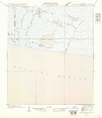
1954 · Constance Bayou SE
USGS Topo · 1:31,680
1954 · Constance Bayou NW
USGS Topo · 1:31,680
1954 · Pecan Island SW
USGS Topo · 1:31,680
1954 · Constance Bayou SW
USGS Topo · 1:31,680