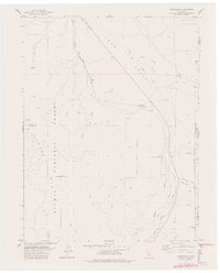
1977 Map of Constantia
USGS Topo · Published 1978About this map
Long Valley Creek defines the low-lying corridor of this high-desert landscape, where the Western Pacific Railroad snakes along the base of the Fort Sage Mountains. In the late 1970s, this area of Lassen County serves as a transition point between the timbered slopes of the Plumas National Forest and the arid valley floor. Small settlements like Omira and Constantia dot the rail line, representing the sparse but persistent ranching and transit outposts of the region.
Find a feature on this map
29 named features on this map. Tap any name to fly to it.
Don’t see what you’re looking for? This feature index may not catch every label — zoom into the map to look around manually.
Map Details
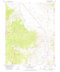
Editions of this 1977 Constantia Map
2 editions found
Other maps of this area

1886 · Honey Lake
USGS Topo · 1:250,000

1886 · Granite Range
USGS Topo · 1:250,000

1890 · Sierraville
USGS Topo · 1:125,000

1891 · Honey Lake
USGS Topo · 1:250,000

1891 · Reno
USGS Topo · 1:125,000

1892 · Sierraville
USGS Topo · 1:125,000

1893 · Honey Lake
USGS Topo · 1:250,000

1893 · Reno
USGS Topo · 1:125,000

1894 · Granite Range
USGS Topo · 1:250,000

1894 · Sierraville
USGS Topo · 1:125,000