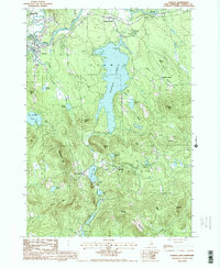
1987 Map of Conway
USGS Topo · Published 1987About this map
The Saco River and Swift River converge near the village of Conway, shaping a landscape defined by glacial ponds and prominent granite peaks in the late 1980s. This interior portion of Carroll County illustrates the transition from the active settlement at Center Conway to the quieter, more elevated terrain of Eaton and Madison. Large water bodies like Conway Lake and Crystal Lake dominate the central valley, while numerous smaller ponds such as Pea Porridge Pond and Dolloff Pond are scattered among the ridges.
Find a feature on this map
44 named features on this map. Tap any name to fly to it.
Don’t see what you’re looking for? This feature index may not catch every label — zoom into the map to look around manually.
Map Details
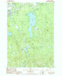
Editions of this 1987 Conway Map
2 editions found
Other maps of this area

1894 · North Conway
USGS Topo · 1:62,500

1896 · North Conway
USGS Topo · 1:62,500

1909 · Fryeburg
USGS Topo · 1:62,500

1910 · Kezar Falls
USGS Topo · 1:48,000

1911 · Fryeburg
USGS Topo · 1:62,500

1911 · Kezar Falls
USGS Topo · 1:62,500

1930 · Ossipee Lake
USGS Topo · 1:62,500

1941 · Fryeburg
USGS Topo · 1:62,500

1942 · North Conway
USGS Topo · 1:62,500

1945 · North Conway
USGS Topo · 1:62,500