
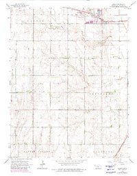
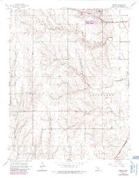
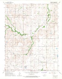
1964 Map of Conway
USGS Topo · Published 1966About this map
Conway serves as a small rail siding along the Atchison Topeka and Santa Fe railroad in northern McPherson County during the early 1960s. The landscape is defined by the winding course of the Blaze Fork and Wolf Creek, which cut through the townships of Castle, Jackson, and Groveland. The map captures an era of evolving rural infrastructure, where traditional gathering places like the Plainview School and churches such as Monitor Church, West Liberty Church, and Zion Church anchor the farming community.
Find a feature on this map
19 named features on this map. Tap any name to fly to it.
Don’t see what you’re looking for? This feature index may not catch every label — zoom into the map to look around manually.
Map Details
Editions of this 1964 Conway Map
3 editions found
Other maps of this area

1891 · Hutchinson
USGS Topo · 1:125,000

1893 · Hutchinson
USGS Topo · 1:125,000

1955 · Hutchinson
USGS Topo · 1:250,000

1959 · Hutchinson
USGS Topo · 1:250,000

1964 · Windom SW
USGS Topo · 1:24,000

1965 · Mc Pherson South
USGS Topo · 1:24,000

1965 · Halstead NW
USGS Topo · 1:24,000
1965 · Mc Pherson North
USGS Topo · 1:24,000
1965 · Hutchinson NW
USGS Topo · 1:24,000
1965 · Windom NE
USGS Topo · 1:24,000