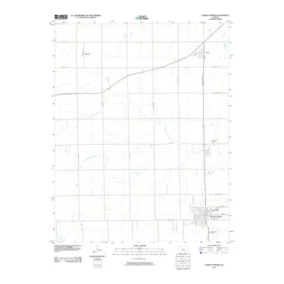
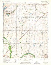
2010 Map of Conway Springs
USGS Topo · Published 2010About this map
Conway Springs anchor the southern portion of this landscape, where the local street grid intersects with regional routes like N Conway Springs Rd. The town is the primary hub of the quadrangle, serving as a center for local administration and community life, evidenced by the Conway Springs Post Office and nearby Saint Josephs Cemetery. To the north, the small settlements of Viola and Anness are positioned along the primary rail line, reflecting a classic Midwestern pattern of town development tied to transportation corridors.
Find a feature on this map
31 named features on this map. Tap any name to fly to it.
Don’t see what you’re looking for? This feature index may not catch every label — zoom into the map to look around manually.
Map Details
Editions of this 2010 Conway Springs Map
This is the sole edition of this map. No revisions or reprints were ever made.
Other maps of this area
1889 · Cheney
USGS Topo · 1:125,000
1889 · Caldwell
USGS Topo · 1:125,000
1891 · Cheney
USGS Topo · 1:125,000
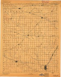
1893 · Caldwell
USGS Topo · 1:125,000
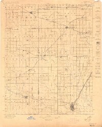
1897 · Caldwell
USGS Topo · 1:125,000
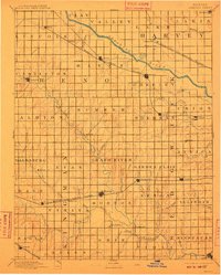
1901 · Cheney
USGS Topo · 1:125,000

1955 · Wichita
USGS Topo · 1:250,000

1958 · Wichita
USGS Topo · 1:250,000
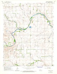
1965 · Cheney SE
USGS Topo · 1:24,000
1965 · Clearwater
USGS Topo · 1:24,000