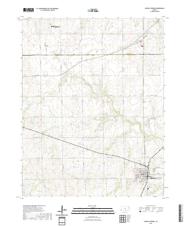
2022 Map of Conway Springs
USGS Topo · Published 2022About this map
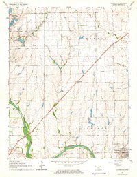
Conway Springs serves as the primary hub of this south-central Kansas landscape, where the agricultural grid is etched across the drainages of Slate Creek. The map documents a classic prairie settlement pattern, with the town site organized around streets like Spring Avenue and Wichita Street. To the north, the small community of Viola and the locality of Anness highlight the rural township structure that has defined Sedgwick and Sumner counties for generations.
Find a feature on this map
51 named features on this map. Tap any name to fly to it.
Don’t see what you’re looking for? This feature index may not catch every label — zoom into the map to look around manually.
Map Details
Editions of this 2022 Conway Springs Map
This is the sole edition of this map. No revisions or reprints were ever made.
Other maps of this area
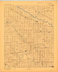
1889 · Cheney
USGS Topo · 1:125,000
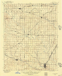
1889 · Caldwell
USGS Topo · 1:125,000
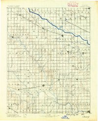
1891 · Cheney
USGS Topo · 1:125,000
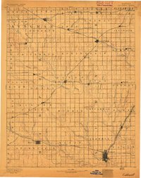
1893 · Caldwell
USGS Topo · 1:125,000
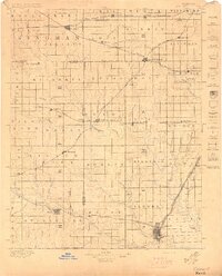
1897 · Caldwell
USGS Topo · 1:125,000
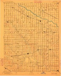
1901 · Cheney
USGS Topo · 1:125,000

1955 · Wichita
USGS Topo · 1:250,000

1958 · Wichita
USGS Topo · 1:250,000
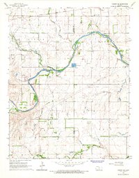
1965 · Cheney SE
USGS Topo · 1:24,000
1965 · Clearwater
USGS Topo · 1:24,000