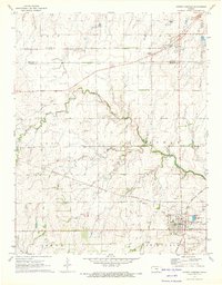
1971 Map of Conway Springs
USGS Topo · Published 1973About this map
The Old Indian Treaty Boundary cuts a diagonal path across this southern Kansas landscape, marking a historical division that predates the modern grid. By the early 1970s, the area shows a well-established agricultural and rail-oriented economy centered around Conway Springs, which features a defined town layout complete with a Rodeo Ground and local Sewage Disposal Ponds. The railroad infrastructure is particularly prominent, with the Atchison Topeka and Santa Fe and Missouri Pacific lines serving the region, while an Old Railroad Grade hints at earlier transportation networks that have since changed.
Find a feature on this map
22 named features on this map. Tap any name to fly to it.
Don’t see what you’re looking for? This feature index may not catch every label — zoom into the map to look around manually.
Map Details
Editions of this 1971 Conway Springs Map
This is the sole edition of this map. No revisions or reprints were ever made.
Other maps of this area

1889 · Cheney
USGS Topo · 1:125,000

1889 · Caldwell
USGS Topo · 1:125,000

1891 · Cheney
USGS Topo · 1:125,000

1893 · Caldwell
USGS Topo · 1:125,000

1897 · Caldwell
USGS Topo · 1:125,000

1901 · Cheney
USGS Topo · 1:125,000

1955 · Wichita
USGS Topo · 1:250,000

1958 · Wichita
USGS Topo · 1:250,000

1965 · Cheney SE
USGS Topo · 1:24,000
1965 · Clearwater
USGS Topo · 1:24,000