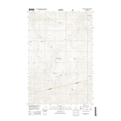
2014 Map of Cook Mountain
USGS Topo · Published 2014About this map
Clearwater National Forest dominates this section of the Idaho backcountry, where the terrain is defined by high ridges and a dense network of mountain streams. High points such as Cook Mtn, Fox Butte, and Smith Butte rise above deep drainages including Johnny Cr and Weitas Creek. The presence of Magary Camp and various forest roads, notably 555, indicates the area's use for logging or wilderness management within Idaho Co.
Find a feature on this map
29 named features on this map. Tap any name to fly to it.
Don’t see what you’re looking for? This feature index may not catch every label — zoom into the map to look around manually.
Map Details
Editions of this 2014 Cook Mountain Map
This is the sole edition of this map. No revisions or reprints were ever made.
Other maps of this area

1911 · Lolo
USGS Topo · 1:250,000

1913 · Lolo
USGS Topo · 1:250,000

1956 · Hamilton
USGS Topo · 1:250,000

1959 · Hamilton
USGS Topo · 1:250,000

1960 · Hamilton
USGS Topo · 1:250,000

1964 · Hamilton
USGS Topo · 1:250,000

1965 · Junction Mtn
USGS Topo · 1:24,000

1965 · Lean-to Point
USGS Topo · 1:24,000

1965 · Scurvy Mtn.
USGS Topo · 1:24,000

1965 · Lookout Peak
USGS Topo · 1:24,000