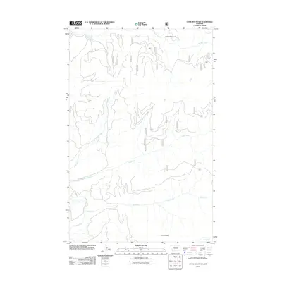
2011 Map of Cook Mountain
USGS Topo · Published 2011About this map
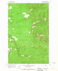
Cook Mountain anchors the southern portion of this landscape, overlooking a complex network of waterways and forest service roads. The Thompson River flows through the southwestern corner, joined by various tributaries including Bear Creek and Chippy Creek. This 2011 survey reveals the modern administrative layout of Flathead County, dominated by the intricate forestry road system including routes such as 881, 882, and 883. The drainage patterns are well-defined by features like Broken Nose Gulch and Big Rock Creek in the north, showing how the terrain directs water toward the primary river valley. These labels represent a landscape shaped by both natural hydrology and the infrastructure required for contemporary timber and wilderness management.
Find a feature on this map
28 named features on this map. Tap any name to fly to it.
Don’t see what you’re looking for? This feature index may not catch every label — zoom into the map to look around manually.
Map Details
Editions of this 2011 Cook Mountain Map
This is the sole edition of this map. No revisions or reprints were ever made.
Other maps of this area

1937 · Thompson Falls
USGS Topo · 1:125,000

1956 · Wallace
USGS Topo · 1:250,000

1960 · Wallace
USGS Topo · 1:250,000

1964 · Calico Creek
USGS Topo · 1:24,000

1964 · Coney Peak
USGS Topo · 1:24,000
1964 · Cook Mountain
USGS Topo · 1:24,000
1964 · Shroder Creek
USGS Topo · 1:24,000

1964 · Murr Peak
USGS Topo · 1:24,000
1964 · Bassoo Peak
USGS Topo · 1:24,000
1964 · Loneman Creek
USGS Topo · 1:24,000