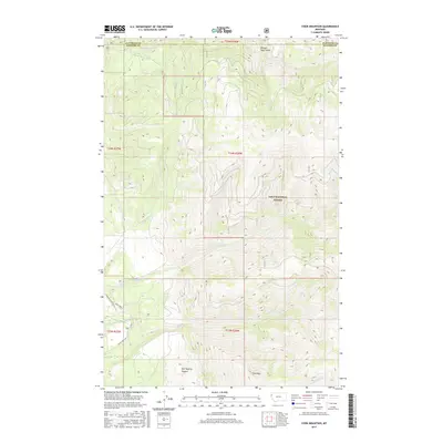
2017 Map of Cook Mountain
USGS Topo · Published 2017About this map
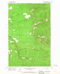
Cook Mtn and the steep drainages of the Lolo National Forest dominate this 2017 survey at the border of Flathead and Sanders Counties. The landscape is defined by the significant hydrological network feeding the Thompson River, which winds through the southwestern corner. Notable watercourses such as Chippy Cr, Semen Cr, and Big Rock Cr carve through the high terrain, creating sharp elevation shifts visible in Hell-Roaring Canyon and Broken Nose Gulch. This map illustrates the modern infrastructure used to navigate this mountainous timberland, primarily via the Thompson River Co Rd and Plum Creek Rd. The absence of established townsites highlights the area's primary character as a protected forest and watershed resource, where relief and drainage patterns dictate the limited human footprint.
Find a feature on this map
18 named features on this map. Tap any name to fly to it.
Don’t see what you’re looking for? This feature index may not catch every label — zoom into the map to look around manually.
Map Details
Editions of this 2017 Cook Mountain Map
This is the sole edition of this map. No revisions or reprints were ever made.
Other maps of this area

1937 · Thompson Falls
USGS Topo · 1:125,000

1956 · Wallace
USGS Topo · 1:250,000

1960 · Wallace
USGS Topo · 1:250,000

1964 · Calico Creek
USGS Topo · 1:24,000

1964 · Coney Peak
USGS Topo · 1:24,000
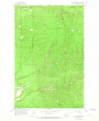
1964 · Cook Mountain
USGS Topo · 1:24,000
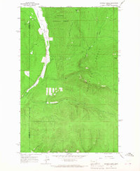
1964 · Shroder Creek
USGS Topo · 1:24,000

1964 · Murr Peak
USGS Topo · 1:24,000
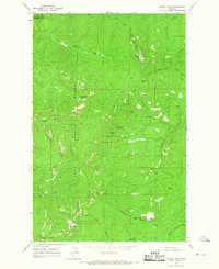
1964 · Bassoo Peak
USGS Topo · 1:24,000
1964 · Loneman Creek
USGS Topo · 1:24,000