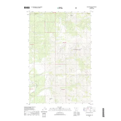
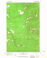
2020 Map of Cook Mountain
USGS Topo · Published 2020About this map
Cook Mtn and the steep drainages of the Lolo National Forest dominate this landscape on the border of Flathead and Sanders Counties. The topography is defined by a dense network of mountain streams, including Big Rock Creek in the north and the Thompson River flowing through the southern reach. The map illustrates a remote wilderness managed for timber and conservation, with access provided by industrial and forest routes such as Plum Creek Rd and Lower Prairie Rd. Natural landmarks like Hell-Roaring Canyon and Broken Nose Gulch reveal the sharp relief of the area, while smaller waterways like Semem Creek and Chippy Creek carve through the heavily forested sections of the quadrangle.
Find a feature on this map
19 named features on this map. Tap any name to fly to it.
Don’t see what you’re looking for? This feature index may not catch every label — zoom into the map to look around manually.
Map Details
Editions of this 2020 Cook Mountain Map
This is the sole edition of this map. No revisions or reprints were ever made.
Other maps of this area

1937 · Thompson Falls
USGS Topo · 1:125,000

1956 · Wallace
USGS Topo · 1:250,000

1960 · Wallace
USGS Topo · 1:250,000

1964 · Calico Creek
USGS Topo · 1:24,000

1964 · Coney Peak
USGS Topo · 1:24,000
1964 · Cook Mountain
USGS Topo · 1:24,000
1964 · Shroder Creek
USGS Topo · 1:24,000

1964 · Murr Peak
USGS Topo · 1:24,000
1964 · Bassoo Peak
USGS Topo · 1:24,000
1964 · Loneman Creek
USGS Topo · 1:24,000