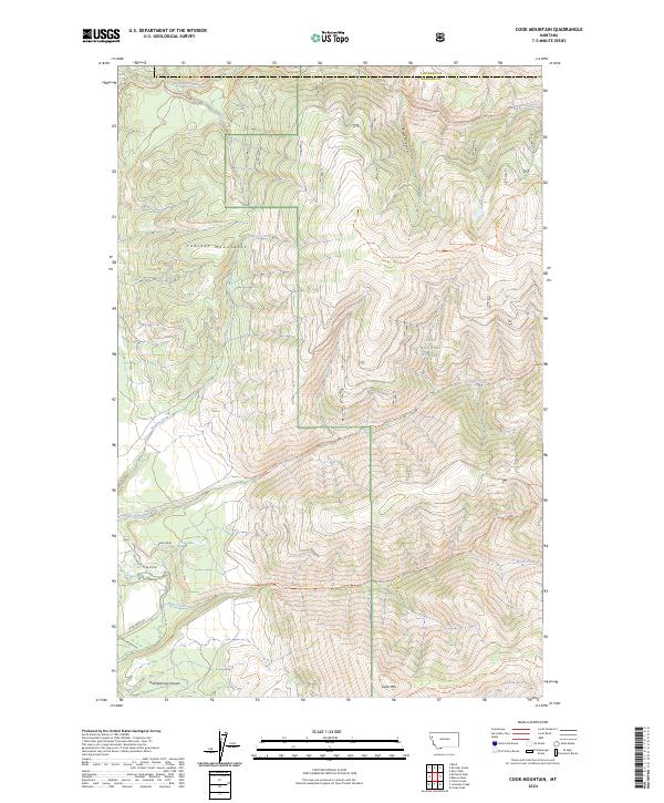
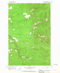
2024 Map of Cook Mountain
USGS Topo · Published 2024About this map
Lolo National Forest encompasses the majority of this landscape in western Montana, defined by the high elevations of the Cabinet Mountains and the steep descent into Hell Roaring Canyon. The area is characterized by a dense network of watercourses and trails that provide access to the backcountry, including the Big Rock Creek Trl and the Snowstorm Ridge Trl. In the southern portion of the map, the terrain rises toward Cook Mtn while drainages like Chippy Creek and Bear Creek carve through the forested ridges. Human infrastructure is limited to primitive access routes such as Thompson River-Cord and Plum Creed Rd near the Sanders Co and Flathead Co boundary line. This survey captures a modern view of the watershed and topographic relief of this protected forest area.
Find a feature on this map
26 named features on this map. Tap any name to fly to it.
Don’t see what you’re looking for? This feature index may not catch every label — zoom into the map to look around manually.
Map Details
Editions of this 2024 Cook Mountain Map
This is the sole edition of this map. No revisions or reprints were ever made.
Other maps of this area

1937 · Thompson Falls
USGS Topo · 1:125,000

1956 · Wallace
USGS Topo · 1:250,000

1960 · Wallace
USGS Topo · 1:250,000

1964 · Calico Creek
USGS Topo · 1:24,000

1964 · Coney Peak
USGS Topo · 1:24,000
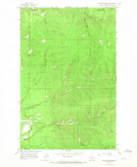
1964 · Cook Mountain
USGS Topo · 1:24,000
1964 · Shroder Creek
USGS Topo · 1:24,000

1964 · Murr Peak
USGS Topo · 1:24,000
1964 · Bassoo Peak
USGS Topo · 1:24,000
1964 · Loneman Creek
USGS Topo · 1:24,000