1966 Map of Cook
USGS Topo · Published 1968About this map
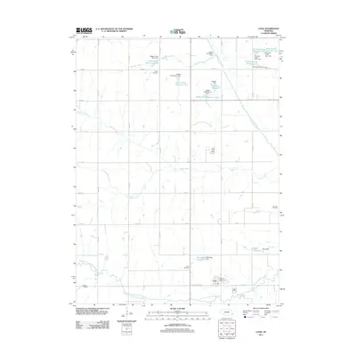
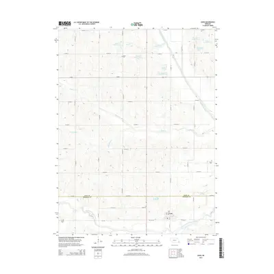
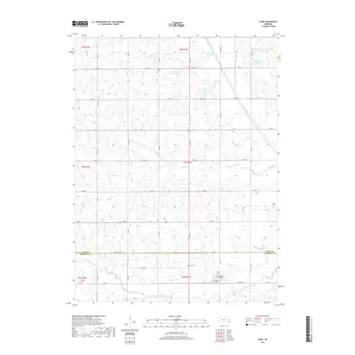
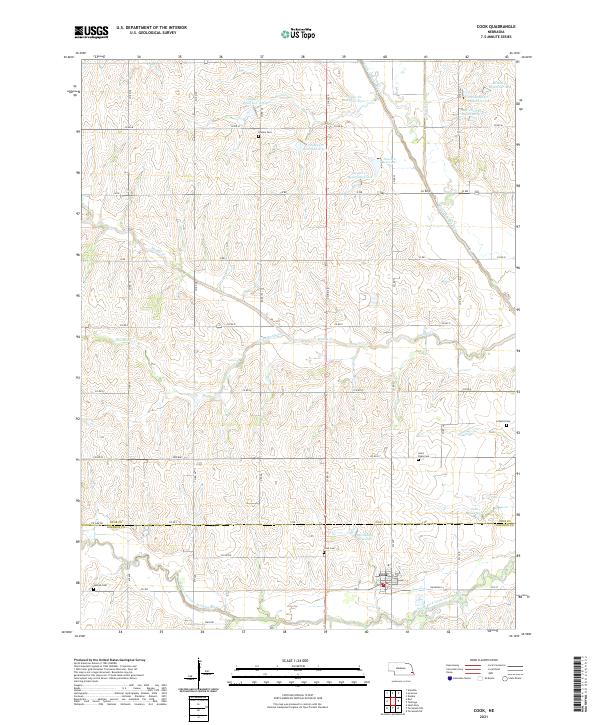
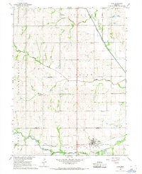
Little Nemaha River and its various tributaries, including Muddy Creek and Boxelder Creek, dictate the geography of this eastern Nebraska landscape. The village of Cook serves as the primary hub, situated near the Missouri Pacific rail line and the South Fork Little Nemaha River. The area exhibits a dense network of early rural infrastructure, with numerous family and community landmarks such as Dudley Cem, Schacht Cem, and Evergreen Sch scattered across the townships of Syracuse and Osage. Agricultural and early industrial activity is evident through features like the Sandpit and the Jaspring Landing Strip in the north. The presence of Helena and Nissen Spur along the railroad tracks highlights the importance of the rail corridor in transporting the region's produce during the mid-1960s.
Find a feature on this map
30 named features on this map. Tap any name to fly to it.
Don’t see what you’re looking for? This feature index may not catch every label — zoom into the map to look around manually.
Map Details
Editions of this 1966 Cook Map
This is the sole edition of this map. No revisions or reprints were ever made.
Historical Maps of Cook Through Time
5 maps found