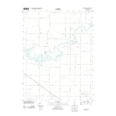
2012 Map of Cooks Mills
USGS Topo · Published 2012About this map
The Kaskaskia River winds prominently through this landscape, defining the rural character of the region near Cooks Mills. This 2012 survey illustrates the enduring agricultural and industrial patterns of the area, where small settlements like Fuller and Coles serve as focal points along the grid-like county road system. A significant industrial footprint is visible in the southeast, where the North Mattoon Oil Field indicates the local importance of mineral extraction.
Find a feature on this map
73 named features on this map. Tap any name to fly to it.
Don’t see what you’re looking for? This feature index may not catch every label — zoom into the map to look around manually.
Map Details
Editions of this 2012 Cooks Mills Map
This is the sole edition of this map. No revisions or reprints were ever made.
Other maps of this area

1934 · Mattoon
USGS Topo · 1:62,500

1935 · Arcola
USGS Topo · 1:48,000

1935 · Sullivan
USGS Topo · 1:48,000

1937 · Mattoon
USGS Topo · 1:62,500

1940 · Sullivan
USGS Topo · 1:62,500

1940 · Arcola
USGS Topo · 1:62,500

1947 · Stewardson
USGS Topo · 1:62,500

1949 · Stewardson
USGS Topo · 1:62,500

1958 · Decatur
USGS Topo · 1:250,000

1961 · Decatur
USGS Topo · 1:250,000