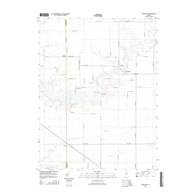
2015 Map of Cooks Mills
USGS Topo · Published 2015About this map
The Kaskaskia River winds through the central corridor of this landscape, marking the historical and geographic heart of the region near the boundary between Moultrie and Coles Counties. This area is defined by its small rural settlements and a network of county roads that facilitate travel between local centers like Cooks Mills, Fuller, and Coles. The presence of several distinct burial sites, including Smith Cemetery, Mount Zion Cemetery, and Zoar Cemetery, provides valuable points of reference for genealogists tracing families in this part of Illinois.
Find a feature on this map
64 named features on this map. Tap any name to fly to it.
Don’t see what you’re looking for? This feature index may not catch every label — zoom into the map to look around manually.
Map Details
Editions of this 2015 Cooks Mills Map
This is the sole edition of this map. No revisions or reprints were ever made.
Other maps of this area

1934 · Mattoon
USGS Topo · 1:62,500

1935 · Arcola
USGS Topo · 1:48,000

1935 · Sullivan
USGS Topo · 1:48,000

1937 · Mattoon
USGS Topo · 1:62,500

1940 · Sullivan
USGS Topo · 1:62,500

1940 · Arcola
USGS Topo · 1:62,500

1947 · Stewardson
USGS Topo · 1:62,500

1949 · Stewardson
USGS Topo · 1:62,500

1958 · Decatur
USGS Topo · 1:250,000

1961 · Decatur
USGS Topo · 1:250,000