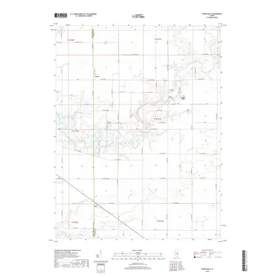
2018 Map of Cooks Mills
USGS Topo · Published 2018About this map
The Kaskaskia River winds through the rural borderlands of Coles and Moultrie counties, shaping a landscape defined by small agricultural settlements and a network of county roads. The community of Cooks Mills serves as a local focal point near the river's bend, while the small hamlets of Fuller and Coles anchor the surrounding farmstead grid. This area preserves a significant concentration of local heritage sites, with several burial grounds including Pleasant Grove Cem, Zoar Cem, and Mount Zion Cem situated near the river's drainage. Tributaries like Crabapple Cr and Whitley Cr cut through the sections, highlighting the natural drainage patterns that dictated early land use. The map reveals the persistence of the traditional township and range survey system, visible in the precisely aligned roads such as E Co RD 1500 N and Co RD 1675e that partition the Illinois prairie.
Find a feature on this map
51 named features on this map. Tap any name to fly to it.
Don’t see what you’re looking for? This feature index may not catch every label — zoom into the map to look around manually.
Map Details
Editions of this 2018 Cooks Mills Map
This is the sole edition of this map. No revisions or reprints were ever made.
Other maps of this area

1934 · Mattoon
USGS Topo · 1:62,500

1935 · Arcola
USGS Topo · 1:48,000

1935 · Sullivan
USGS Topo · 1:48,000

1937 · Mattoon
USGS Topo · 1:62,500

1940 · Sullivan
USGS Topo · 1:62,500

1940 · Arcola
USGS Topo · 1:62,500

1947 · Stewardson
USGS Topo · 1:62,500

1949 · Stewardson
USGS Topo · 1:62,500

1958 · Decatur
USGS Topo · 1:250,000

1961 · Decatur
USGS Topo · 1:250,000