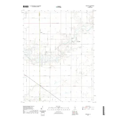
2021 Map of Cooks Mills
USGS Topo · Published 2021About this map
The Kaskaskia River snakes through the center of this rural landscape, defining the topography of the borderlands between Moultrie and Coles counties. The settlement of Cooks Mills sits at a crossing point of the river, while the smaller hamlets of Fuller and Coles mark the agricultural grid further west and south. This terrain is characterized by its numerous small burial grounds, often associated with early pioneer families or rural congregations.
Find a feature on this map
64 named features on this map. Tap any name to fly to it.
Don’t see what you’re looking for? This feature index may not catch every label — zoom into the map to look around manually.
Map Details
Editions of this 2021 Cooks Mills Map
This is the sole edition of this map. No revisions or reprints were ever made.
Other maps of this area

1934 · Mattoon
USGS Topo · 1:62,500

1935 · Arcola
USGS Topo · 1:48,000

1935 · Sullivan
USGS Topo · 1:48,000

1937 · Mattoon
USGS Topo · 1:62,500

1940 · Sullivan
USGS Topo · 1:62,500

1940 · Arcola
USGS Topo · 1:62,500

1947 · Stewardson
USGS Topo · 1:62,500

1949 · Stewardson
USGS Topo · 1:62,500

1958 · Decatur
USGS Topo · 1:250,000

1961 · Decatur
USGS Topo · 1:250,000