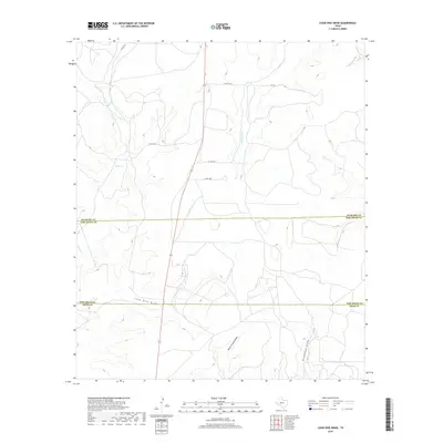
2019 Map of Coon Dive Draw
USGS Topo · Published 2019About this map
Coon Dive Draw and North Liveoak Draw carve through this West Texas landscape where the boundaries of Sterling, Tom Green, and Irion counties converge. The terrain is defined by a network of seasonal watercourses, including the upper reaches of Mulberry Cr and Kiowa Cr, which drain the limestone plateaus of the Edwards Plateau region. A sparse network of ranch roads and private lanes, such as Jackson Ln and Co Rd 127-P, provides the primary access to this rural area. The map illustrates a contemporary livestock-focused land use pattern, with prominent draws like Bradford Draw and W Rocky Cr serving as critical natural features for local water management and ranching operations in this semi-arid environment.
Find a feature on this map
14 named features on this map. Tap any name to fly to it.
Don’t see what you’re looking for? This feature index may not catch every label — zoom into the map to look around manually.
Map Details
Editions of this 2019 Coon Dive Draw Map
This is the sole edition of this map. No revisions or reprints were ever made.
Other maps of this area

1895 · Sherwood
USGS Topo · 1:125,000

1921 · Ketchum Mountain
USGS Topo · 1:62,500

1923 · Ketchum Mountain
USGS Topo · 1:62,500

1954 · San Angelo
USGS Topo · 1:250,000

1958 · San Angelo
USGS Topo · 1:250,000

1965 · San Angelo
USGS Topo · 1:250,000

1972 · Wallace Draw
USGS Topo · 1:24,000

1972 · Dog Creek SW
USGS Topo · 1:24,000

1972 · Dog Creek NW
USGS Topo · 1:24,000

1973 · Hay Hollow
USGS Topo · 1:24,000