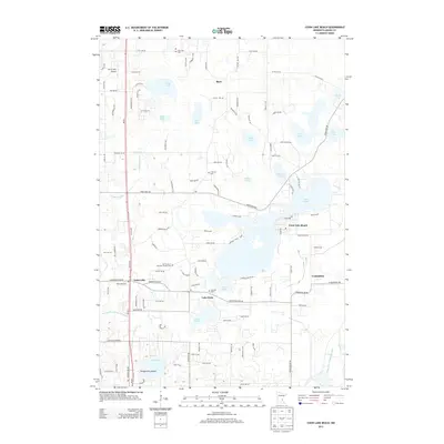
2013 Map of Coon Lake Beach
USGS Topo · Published 2013About this map
Coon Lake and its surrounding wetlands dominate this 2013 survey of Anoka County, where the transition from rural townships to growing suburbs is evident in the dense network of numbered avenues and residential lanes. Several established communities are documented, including Soderville, Lake Netta, and Coon Lake Beach, alongside smaller settlements like Mort and the northern edge of Ham Lake. The landscape is defined by its hydrography, featuring numerous bodies of water such as Deer Lake, Goose Lake, and Devil Lake.
Find a feature on this map
111 named features on this map. Tap any name to fly to it.
Don’t see what you’re looking for? This feature index may not catch every label — zoom into the map to look around manually.
Map Details
Editions of this 2013 Coon Lake Beach Map
This is the sole edition of this map. No revisions or reprints were ever made.
Other maps of this area

1902 · White Bear
USGS Topo · 1:62,500

1902 · Anoka
USGS Topo · 1:62,500

1916 · St. Francis
USGS Topo · 1:62,500

1919 · St. Francis
USGS Topo · 1:62,500

1952 · Centerville
USGS Topo · 1:24,000

1953 · Stillwater
USGS Topo · 1:250,000

1955 · Circle Pines
USGS Topo · 1:24,000

1955 · Coon Rapids
USGS Topo · 1:24,000

1955 · Isanti
USGS Topo · 1:62,500

1955 · Anoka
USGS Topo · 1:62,500