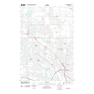
2010 Map of Coon Rapids
USGS Topo · Published 2010About this map
The Mississippi River carves through the landscape of the northern Twin Cities suburbs, defining the boundary and character of this 2010 survey. At the heart of the waterway lies the Coon Rapids Dam and adjacent Dunn Island, significant landmarks that have historically managed the river's flow and power. The map illustrates a densely developed residential and commercial corridors, notably around Thompson Heights and Oak Park, while also preserving major recreational and open spaces like the Bunker Hills Golf Course and the surrounding area near Bunker Lake.
Find a feature on this map
53 named features on this map. Tap any name to fly to it.
Don’t see what you’re looking for? This feature index may not catch every label — zoom into the map to look around manually.
Map Details
Editions of this 2010 Coon Rapids Map
This is the sole edition of this map. No revisions or reprints were ever made.
Other maps of this area

1902 · White Bear
USGS Topo · 1:62,500

1902 · Anoka
USGS Topo · 1:62,500

1916 · St. Francis
USGS Topo · 1:62,500

1919 · St. Francis
USGS Topo · 1:62,500

1952 · Minneapolis North
USGS Topo · 1:24,000

1952 · New Brighton
USGS Topo · 1:24,000

1953 · Stillwater
USGS Topo · 1:250,000

1955 · Osseo
USGS Topo · 1:24,000

1955 · Circle Pines
USGS Topo · 1:24,000

1955 · Anoka
USGS Topo · 1:24,000