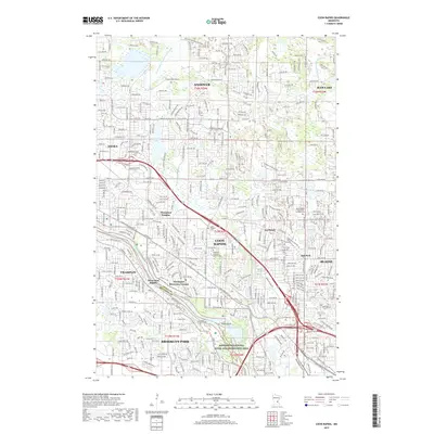
2019 Map of Coon Rapids
USGS Topo · Published 2019About this map
The Mississippi River defines the southern boundary of this suburban landscape, where the Mississippi National River and Recreation Area preserves the riparian corridor between Champlin and Brooklyn Park. The area is characterized by a dense network of residential developments such as Thompson Heights and Northdale, interspersed with numerous glacial lakes including Crooked Lake and Round Lake. Local history is anchored by sites like Joyce Chapel Cem and Epiphany Catholic Church Cem, while the industrial and residential growth of Coon Rapids is evident in the complex street grid. Water management is a prominent feature of the terrain, visible through the system of drainage works like County Ditch Number Thirtyseven and County Ditch Number Fiftyeight that cut through the townships of Andover and Ham Lake.
Find a feature on this map
45 named features on this map. Tap any name to fly to it.
Don’t see what you’re looking for? This feature index may not catch every label — zoom into the map to look around manually.
Map Details
Editions of this 2019 Coon Rapids Map
This is the sole edition of this map. No revisions or reprints were ever made.
Other maps of this area

1902 · White Bear
USGS Topo · 1:62,500

1902 · Anoka
USGS Topo · 1:62,500

1916 · St. Francis
USGS Topo · 1:62,500

1919 · St. Francis
USGS Topo · 1:62,500

1952 · Minneapolis North
USGS Topo · 1:24,000

1952 · New Brighton
USGS Topo · 1:24,000

1953 · Stillwater
USGS Topo · 1:250,000

1955 · Osseo
USGS Topo · 1:24,000

1955 · Circle Pines
USGS Topo · 1:24,000

1955 · Anoka
USGS Topo · 1:24,000