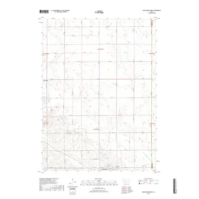
2018 Map of Coon Rapids North
USGS Topo · Published 2018About this map
Carrollton and the northern reaches of Coon Rapids anchor this rural landscape where the Middle Raccoon River carves a winding path through the heart of Carroll County. The terrain is defined by a grid of agricultural section lines and county roads, yet the river and its tributaries like Calamus Cr and Willow Cr create a complex system of drainage and relief. For those researching local history, the map identifies several significant burial sites, including Old Carrollton Cem, Oak Hill Cem, and Coon Rapids Cem.
Find a feature on this map
44 named features on this map. Tap any name to fly to it.
Don’t see what you’re looking for? This feature index may not catch every label — zoom into the map to look around manually.
Map Details
Editions of this 2018 Coon Rapids North Map
This is the sole edition of this map. No revisions or reprints were ever made.
Other maps of this area

1954 · Omaha
USGS Topo · 1:250,000

1954 · Fort Dodge
USGS Topo · 1:250,000

1957 · Omaha
USGS Topo · 1:250,000

1957 · Fort Dodge
USGS Topo · 1:250,000

1958 · Omaha
USGS Topo · 1:250,000

1958 · Fort Dodge
USGS Topo · 1:250,000

1971 · Coon Rapids South
USGS Topo · 1:24,000

1971 · Viola Center
USGS Topo · 1:24,000

1971 · Dedham
USGS Topo · 1:24,000

1971 · Coon Rapids NE
USGS Topo · 1:24,000