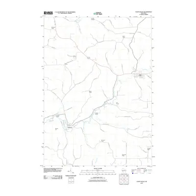
2010 Map of Coon Valley
USGS Topo · Published 2010About this map
Coon Valley and Chaseburg anchor this topographical study of Vernon County, Wisconsin, where the Driftless Area landscape is defined by its characteristic ridge-and-valley formation. The meandering course of Coon Creek carves through the center of the sheet, flanked by prominent elevations like North Ridge and Misna Ridge. This 2010 survey shows a well-established network of rural routes, including County Hwy M and County Hwy KK, that follow the winding contours of the land.
Find a feature on this map
64 named features on this map. Tap any name to fly to it.
Don’t see what you’re looking for? This feature index may not catch every label — zoom into the map to look around manually.
Map Details
Editions of this 2010 Coon Valley Map
This is the sole edition of this map. No revisions or reprints were ever made.
Other maps of this area

1909 · Sparta
USGS Topo · 1:62,500

1923 · Viroqua
USGS Topo · 1:62,500

1926 · Stoddard
USGS Topo · 1:62,500

1926 · Viroqua
USGS Topo · 1:62,500

1927 · La Crosse
USGS Topo · 1:62,500

1930 · La Crosse
USGS Topo · 1:62,500

1947 · Sparta
USGS Topo · 1:62,500

1949 · Sparta
USGS Topo · 1:62,500

1958 · La Crosse
USGS Topo · 1:250,000

1961 · La Crosse
USGS Topo · 1:250,000