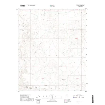
2020 Map of Cooper Canyon
USGS Topo · Published 2020About this map
Chupadera Mesa dominates the southern landscape of this Socorro County region, where the terrain is carved by a complex network of drainage systems. The map detail highlights the prominence of Iron Mine Ridge and the winding course of Aguila Canyon, providing a clear look at the geological transitions between these high mesas and the deep canyons below. Evidence of early state-level land management appears in the labeling of School Section Draw, a name typically indicating lands historically reserved for the support of public education.
Find a feature on this map
23 named features on this map. Tap any name to fly to it.
Don’t see what you’re looking for? This feature index may not catch every label — zoom into the map to look around manually.
Map Details
Editions of this 2020 Cooper Canyon Map
This is the sole edition of this map. No revisions or reprints were ever made.
Other maps of this area

1918 · Oscura Peak
USGS Topo · 1:125,000

1948 · Broken Back Crater
USGS Topo · 1:62,500

1948 · Bingham
USGS Topo · 1:62,500

1954 · Tularosa
USGS Topo · 1:250,000

1954 · Socorro
USGS Topo · 1:250,000

1958 · Socorro
USGS Topo · 1:250,000

1958 · Tularosa
USGS Topo · 1:250,000

1962 · Socorro
USGS Topo · 1:250,000

1972 · Turkey Ridge SW
USGS Topo · 1:24,000

1972 · Wilson Ranch
USGS Topo · 1:24,000