
1956 Map of Cooper Gulch
USGS Topo · Published 1958About this map
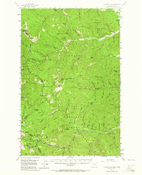
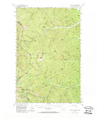
Thompson Pass serves as a critical geographic gateway along the high border between Montana and Idaho, marking a point where the Shoshone and Sanders county line meets the state boundary. This mid-century survey reveals a landscape largely defined by federal management, as the Kaniksu, Lolo, and Coeur d'Alene National Forests all converge here. While the terrain is dominated by high points like Dixie Peak and Haystack Mountain, human activity is etched into the landscape through the presence of the Montana Mine and a USFS Fire Station. The map captures the hydrological network of the Bitterroot Range, from the headwaters of Prichard Creek to the high-elevation Blossom Lakes and Upper Glidden Lake. The presence of U.S. 10-A indicates the primary transit route through this wilderness, providing access to the various gulches and ridges that shaped the region's early mining and forestry history.
Find a feature on this map
59 named features on this map. Tap any name to fly to it.
Don’t see what you’re looking for? This feature index may not catch every label — zoom into the map to look around manually.
Map Details
Editions of this 1956 Cooper Gulch Map
3 editions found
Other maps of this area

1901 · Coeur D'Alene District
USGS Topo · 1:62,500

1903 · Coeur D'Alene District
USGS Topo · 1:62,500

1906 · Coeur D'Alene District
USGS Topo · 1:62,500

1914 · Avery
USGS Topo · 1:125,000

1917 · Avery
USGS Topo · 1:125,000

1918 · St Regis
USGS Topo · 1:125,000

1919 · St. Regis
USGS Topo · 1:125,000

1932 · Trout Creek
USGS Topo · 1:125,000

1935 · Trout Creek
USGS Topo · 1:125,000

1936 · Trout Creek
USGS Topo · 1:125,000