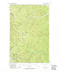
1956 Map of Cooper Gulch
USGS Topo · Published 1964About this map
Montana and Idaho meet along a ridgeline divide in this 1950s survey, dominated by the intersecting boundaries of the Kaniksu National Forest, Coeur d'Alene National Forest, and Lolo National Forest. The landscape is defined by its isolation and high-elevation utility, evidenced by the USFS Fire Sta near Andys Knob and a USFS Emergency Telephone along Upper Clear Creek.
Find a feature on this map
40 named features on this map. Tap any name to fly to it.
Don’t see what you’re looking for? This feature index may not catch every label — zoom into the map to look around manually.
Map Details
Editions of this 1956 Cooper Gulch Map
3 editions found

Other maps of this area

1901 · Coeur D'Alene District
USGS Topo · 1:62,500

1903 · Coeur D'Alene District
USGS Topo · 1:62,500

1906 · Coeur D'Alene District
USGS Topo · 1:62,500

1914 · Avery
USGS Topo · 1:125,000

1917 · Avery
USGS Topo · 1:125,000

1918 · St Regis
USGS Topo · 1:125,000

1919 · St. Regis
USGS Topo · 1:125,000

1932 · Trout Creek
USGS Topo · 1:125,000

1935 · Trout Creek
USGS Topo · 1:125,000

1936 · Trout Creek
USGS Topo · 1:125,000