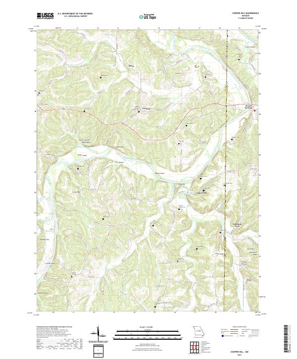
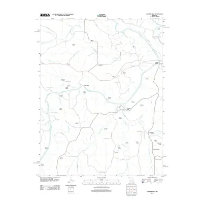
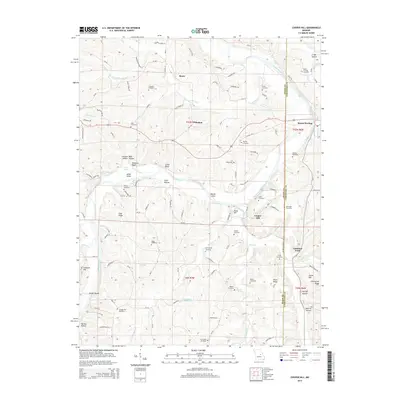
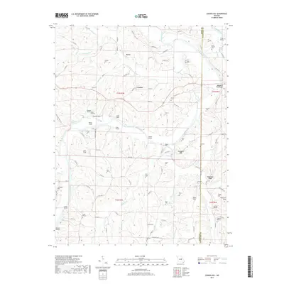
2021 Map of Cooper Hill
USGS Topo · Published 2021About this map
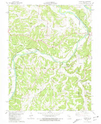
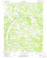
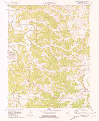
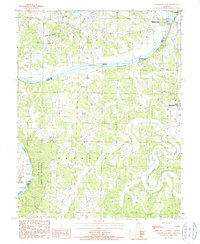
The Gasconade River winds prominently through this section of Missouri, shaping the topography with distinctive features like Massie Island and Miller Island. The landscape is characterized by steep bluffs and deep hollows, including Cedar Bluff and Crider Hollow, which have historically dictated the placement of small rural communities. Settlements such as Cooper Hill, Freedom, and Ryors are scattered across the terrain, connected by a network of state and county roads that navigate the complex ridges and stream valleys.
Find a feature on this map
115 named features on this map. Tap any name to fly to it.
Don’t see what you’re looking for? This feature index may not catch every label — zoom into the map to look around manually.
Map Details
Editions of this 2021 Cooper Hill Map
This is the sole edition of this map. No revisions or reprints were ever made.
Historical Maps of Freedom Through Time
35 maps found
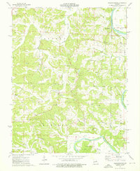
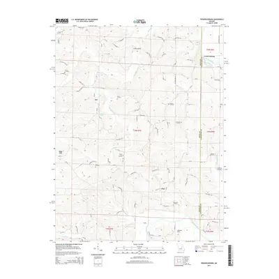
1974 Fredericksburg
Osage County, MO
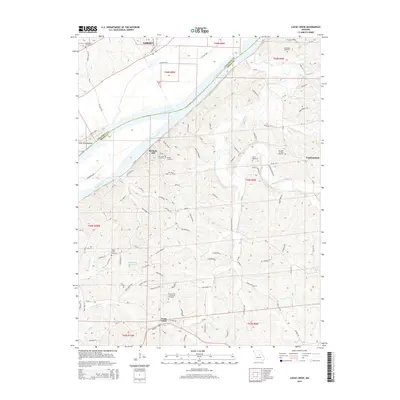
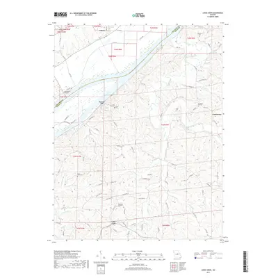
1975 Loose Creek
Osage County, MO
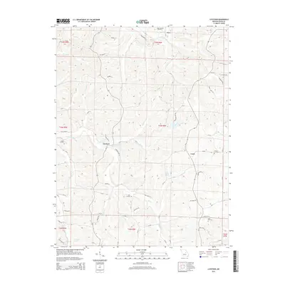
1975 Luystown
Osage County, MO
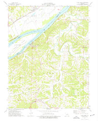
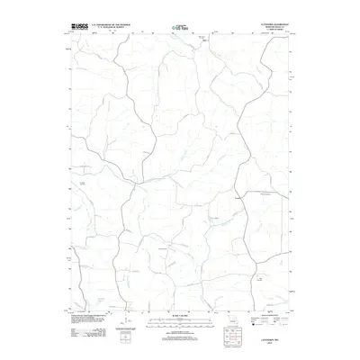
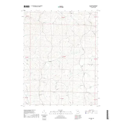
1981 Cooper Hill
Osage County, MO
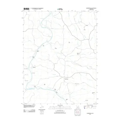
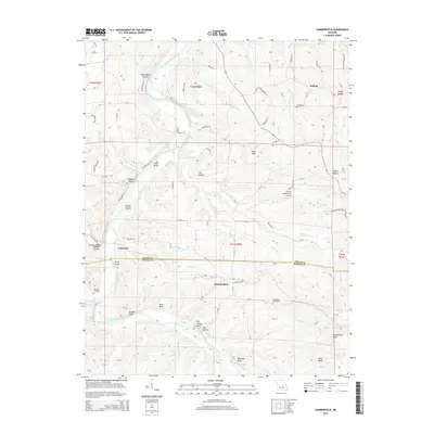
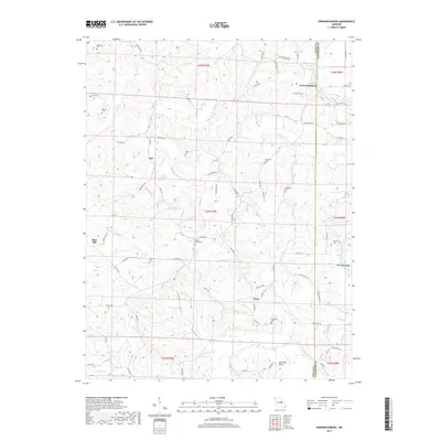
1981 Summerfield
Osage County, MO
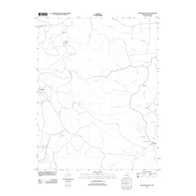
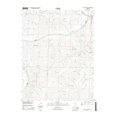
1981 Westphalia East
Osage County, MO
1987 Westphalia West
Osage County, MO
2011 Westphalia West
Osage County, MO
2012 Cooper Hill
Osage County, MO
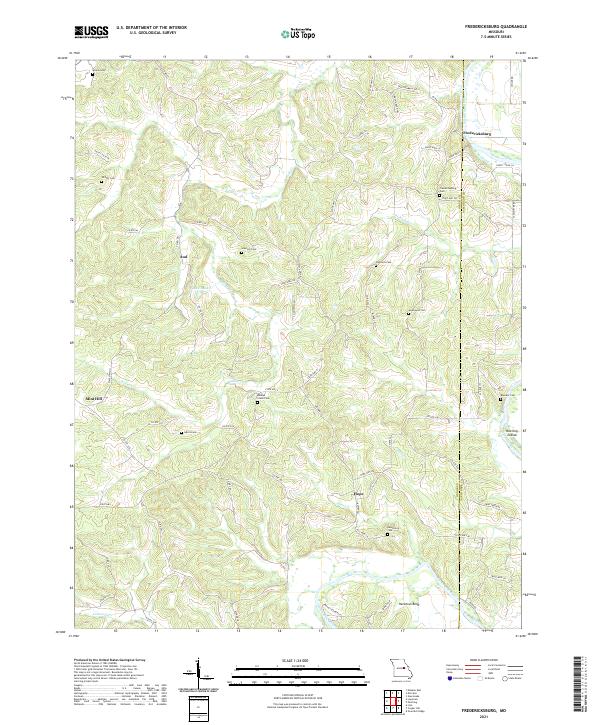
2012 Fredericksburg
Osage County, MO
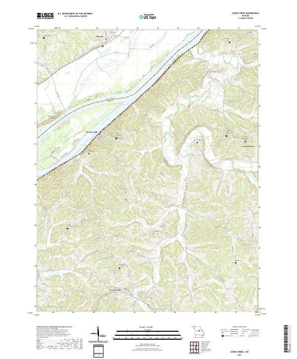
2012 Loose Creek
Osage County, MO
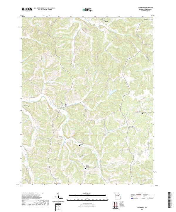
2012 Luystown
Osage County, MO
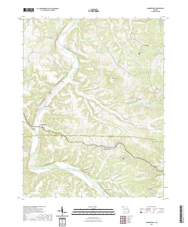
2012 Summerfield
Osage County, MO
2012 Westphalia East
Osage County, MO
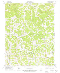
2015 Cooper Hill
Osage County, MO
2015 Fredericksburg
Osage County, MO
2015 Loose Creek
Osage County, MO
2015 Luystown
Osage County, MO
2015 Summerfield
Osage County, MO

2015 Westphalia East
Osage County, MO
2015 Westphalia West
Osage County, MO
2017 Cooper Hill
Osage County, MO
2017 Fredericksburg
Osage County, MO
2017 Loose Creek
Osage County, MO
2017 Luystown
Osage County, MO
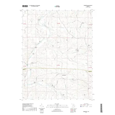
2017 Summerfield
Osage County, MO
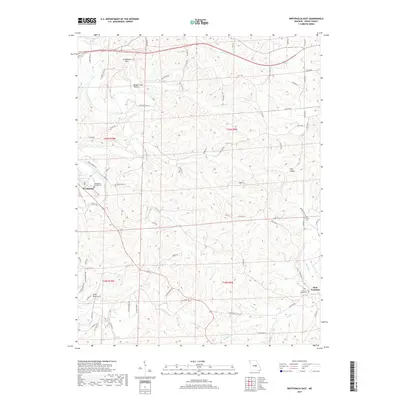
2017 Westphalia East
Osage County, MO
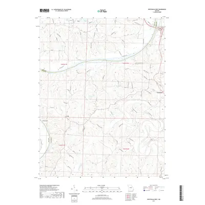
2017 Westphalia West
Osage County, MO
2021 Cooper Hill
Osage County, MO
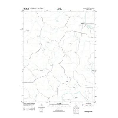
2021 Fredericksburg
Osage County, MO
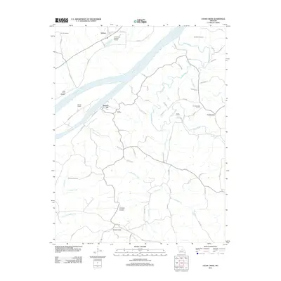
2021 Loose Creek
Osage County, MO
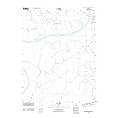
2021 Luystown
Osage County, MO
2021 Summerfield
Osage County, MO
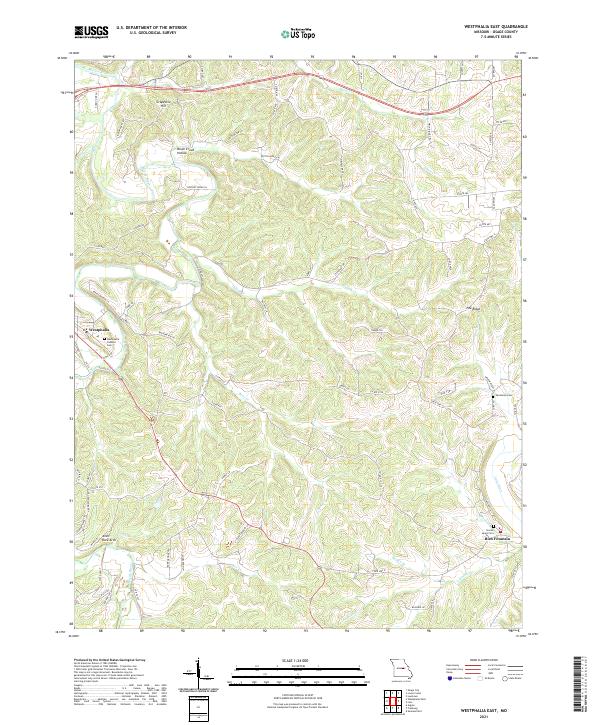
2021 Westphalia East
Osage County, MO
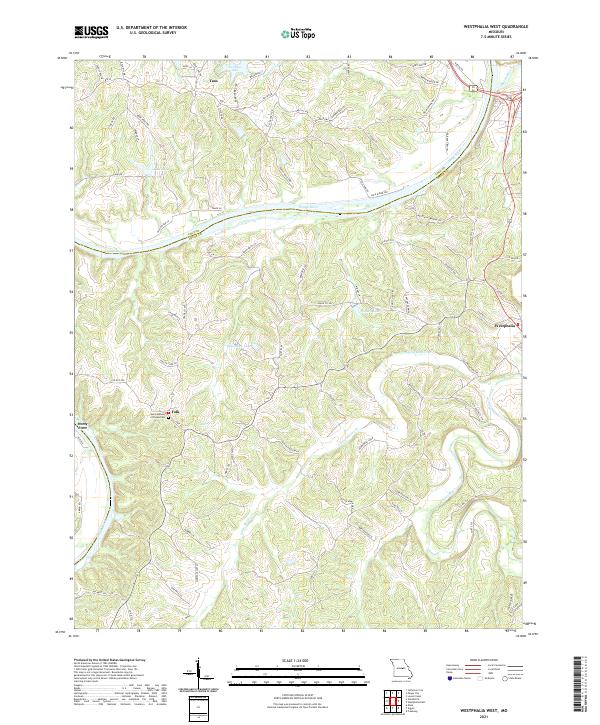
2021 Westphalia West
Osage County, MO