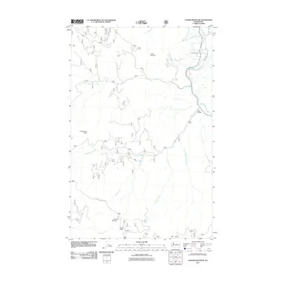
2011 Map of Cooper Mountain
USGS Topo · Published 2011About this map
The Methow River flows through the northeastern corner of this Washington landscape, providing a vital water source for the Methow Cemetery and surrounding valley. The terrain is defined by high ridges and deep drainages, with Hunter Mountain and Squaw Creek Ridge looming over the seasonal flows of Squaw Creek and Black Canyon Creek. The elevation rises significantly toward the south, reaching its peak at Cooper Mountain and the adjacent Cooper Ridge.
Find a feature on this map
18 named features on this map. Tap any name to fly to it.
Don’t see what you’re looking for? This feature index may not catch every label — zoom into the map to look around manually.
Map Details
Editions of this 2011 Cooper Mountain Map
This is the sole edition of this map. No revisions or reprints were ever made.
Other maps of this area

1899 · Methow
USGS Topo · 1:125,000

1901 · Chelan
USGS Topo · 1:125,000

1901 · Methow
USGS Topo · 1:125,000

1905 · Okanogan
USGS Topo · 1:125,000

1953 · Ritzville
USGS Topo · 1:250,000

1954 · Okanogan
USGS Topo · 1:250,000

1955 · Concrete
USGS Topo · 1:250,000

1957 · Brewster
USGS Topo · 1:62,500

1957 · Wenatchee
USGS Topo · 1:250,000

1958 · Concrete
USGS Topo · 1:250,000