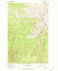
1968 Map of Cooper Mtn
USGS Topo · Published 1972About this map
The Methow River corridor dominates the eastern edge of this late 1960s landscape, providing a narrow band of low-elevation activity against the towering slopes of Buckhorn Mtn and Hunter Mtn. This period shows a rugged interior largely defined by the boundaries of the Okanogan National Forest and Wenatchee National Forest. Evidence of early resource extraction and high-country transit is found in the numerous Prospects dotting the ridges and the network of Jeep Trails and Pack Trails that weave through drainages like Black Canyon Creek and Squaw Creek. Near the river, the Methow Cemetery and several borrow pits suggest localized settlement and road maintenance, while higher elevations are marked by landmarks such as Cooper Corral and the namesake summit of Cooper Mtn.
Find a feature on this map
32 named features on this map. Tap any name to fly to it.
Don’t see what you’re looking for? This feature index may not catch every label — zoom into the map to look around manually.
Map Details
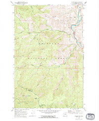
Editions of this 1968 Cooper Mtn Map
2 editions found
Other maps of this area

1899 · Methow
USGS Topo · 1:125,000

1901 · Chelan
USGS Topo · 1:125,000

1901 · Methow
USGS Topo · 1:125,000

1905 · Okanogan
USGS Topo · 1:125,000

1953 · Ritzville
USGS Topo · 1:250,000

1954 · Okanogan
USGS Topo · 1:250,000

1955 · Concrete
USGS Topo · 1:250,000

1957 · Brewster
USGS Topo · 1:62,500

1957 · Wenatchee
USGS Topo · 1:250,000

1958 · Concrete
USGS Topo · 1:250,000