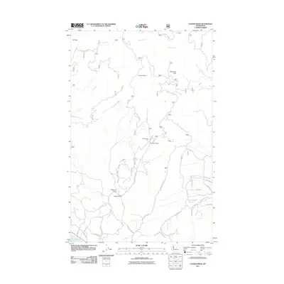
2011 Map of Cooper Ridge
USGS Topo · Published 2011About this map
Cooper Ridge and the high country of Chelan County dominate this landscape, where the terrain falls away toward the northern tip of Lake Chelan. The map captures a transition between the high peaks, such as Goff Peak and Washington Butte, and the agricultural and recreational valleys below. The eastern portion of the sheet shows a more developed road network including School House Rd and Union Valley Rd, pointing to the long-standing rural residency in these lower elevations.
Find a feature on this map
48 named features on this map. Tap any name to fly to it.
Don’t see what you’re looking for? This feature index may not catch every label — zoom into the map to look around manually.
Map Details
Editions of this 2011 Cooper Ridge Map
This is the sole edition of this map. No revisions or reprints were ever made.
Other maps of this area

1899 · Methow
USGS Topo · 1:125,000

1901 · Chelan
USGS Topo · 1:125,000

1901 · Methow
USGS Topo · 1:125,000

1905 · Okanogan
USGS Topo · 1:125,000

1953 · Ritzville
USGS Topo · 1:250,000

1954 · Okanogan
USGS Topo · 1:250,000

1955 · Concrete
USGS Topo · 1:250,000

1957 · Brewster
USGS Topo · 1:62,500

1957 · Wenatchee
USGS Topo · 1:250,000

1958 · Concrete
USGS Topo · 1:250,000