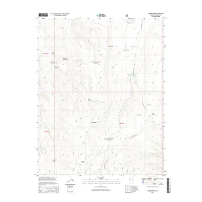
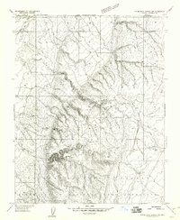
2014 Map of Cooper Ridge
USGS Topo · Published 2014About this map
The Arizona National Scenic Trail winds through the high-elevation landscape of the Kaibab National Forest in this 2014 survey. The terrain is characterized by a series of significant canyons, including the North, South, and Middle Fork Willis Canyon systems, alongside Orderville Canyon and Burro Canyon. These geographic features are interspersed with open meadows and flats such as Wildhorse Park and Round Valley.
Find a feature on this map
32 named features on this map. Tap any name to fly to it.
Don’t see what you’re looking for? This feature index may not catch every label — zoom into the map to look around manually.
Map Details
Editions of this 2014 Cooper Ridge Map
This is the sole edition of this map. No revisions or reprints were ever made.
Other maps of this area

1886 · Kaibab
USGS Topo · 1:250,000

1936 · Jacobs Lake
USGS Topo · 1:48,000

1940 · Jacob Lake
USGS Topo · 1:62,500

1953 · Jacobs Lake
USGS Topo · 1:62,500

1953 · Grand Canyon
USGS Topo · 1:250,000
1954 · House Rock Spring NE
USGS Topo · 1:24,000
1954 · House Rock Spring SE
USGS Topo · 1:24,000

1957 · Grand Canyon
USGS Topo · 1:250,000
1957 · Shinarump NE
USGS Topo · 1:24,000
1957 · House Rock Spring NW
USGS Topo · 1:24,000