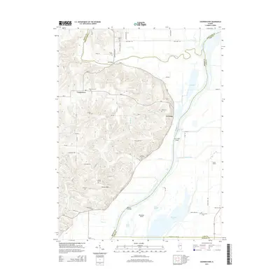
2015 Map of Cooperstown
USGS Topo · Published 2015About this map
Cooperstown and the riverfront landing of La Grange sit at the intersection of several Illinois counties, where the La Moine River feeds into the winding Illinois River. This area is characterized by a high concentration of family and community burial grounds, such as Cooperstown Cem, De Witt Cem, and Lavina Henry Cem, which provide a dense record of the local lineages that settled this riverine landscape.
Find a feature on this map
76 named features on this map. Tap any name to fly to it.
Don’t see what you’re looking for? This feature index may not catch every label — zoom into the map to look around manually.
Map Details
Editions of this 2015 Cooperstown Map
This is the sole edition of this map. No revisions or reprints were ever made.
Other maps of this area

1923 · Rushville
USGS Topo · 1:62,500

1926 · Beardstown
USGS Topo · 1:62,500

1926 · Rushville
USGS Topo · 1:62,500

1928 · Meredosia
USGS Topo · 1:62,500

1929 · Arenzville
USGS Topo · 1:62,500

1931 · Meredosia
USGS Topo · 1:62,500

1932 · Arenzville
USGS Topo · 1:62,500

1944 · Beardstown
USGS Topo · 1:62,500

1948 · Quincy
USGS Topo · 1:250,000

1956 · Quincy
USGS Topo · 1:250,000