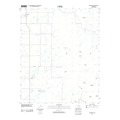
2010 Map of Cooperton
USGS Topo · Published 2010About this map
Cooperton stands as a focal point in this Kiowa County landscape, where the flatlands of the Oklahoma plains meet a distinctive cluster of named peaks and ridges. The topography is defined by the contrast between broad agricultural expanses like Fullingim Flat and Wells Flat, and the sudden elevation of landmarks such as Baker Peak, Mount Pinchot, and Black Bear Mountain. Water management is central to the area's development, evidenced by Otter Creek Site 3 Dam and Otter Creek Site 4 Dam along the course of East Otter Creek. For local historians and genealogists, Springhill Cemetery provides a tangible link to the community's heritage. The map also captures the intricate drainage system of the region, tracing the winding paths of Boggy Hollow Creek, Telephone Creek, and the various branches of Sugar Creek, illustrating how the natural hydrology dictated the placement of roads and homesteads.
Find a feature on this map
38 named features on this map. Tap any name to fly to it.
Don’t see what you’re looking for? This feature index may not catch every label — zoom into the map to look around manually.
Map Details
Editions of this 2010 Cooperton Map
This is the sole edition of this map. No revisions or reprints were ever made.
Other maps of this area

1937 · Cache
USGS Topo · 1:48,000

1937 · Quanah Mountain
USGS Topo · 1:24,000

1942 · Cache
USGS Topo · 1:62,500

1949 · Cooperton
USGS Topo · 1:62,500

1949 · Quanah Mountain
USGS Topo · 1:24,000

1950 · Snyder
USGS Topo · 1:62,500

1950 · Saddle Mountain
USGS Topo · 1:62,500

1955 · Lawton
USGS Topo · 1:250,000

1956 · Glen Mountains
USGS Topo · 1:24,000

1956 · Saddle Mountain
USGS Topo · 1:24,000