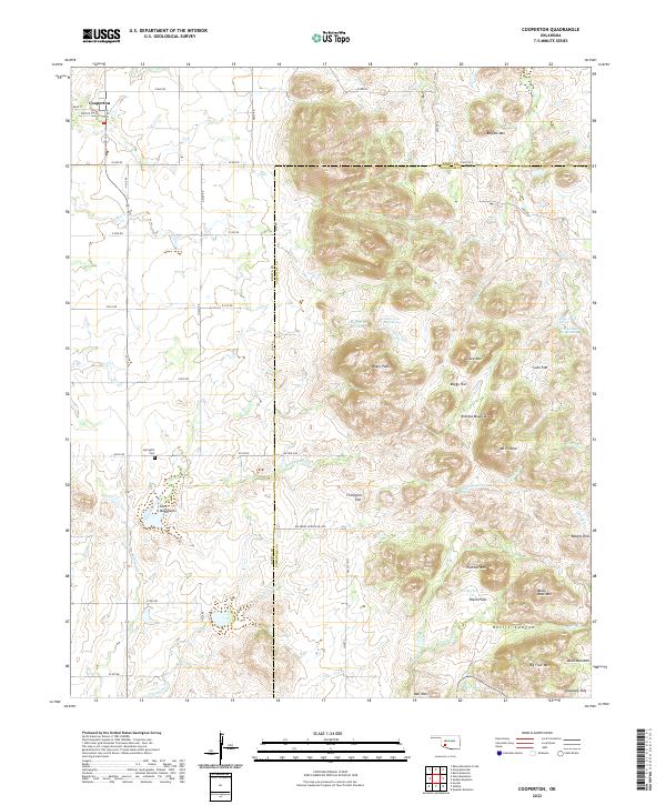
2022 Map of Cooperton
USGS Topo · Published 2022About this map
The settlement of Cooperton anchors the northwestern corner of this landscape, where the flat plains of Kiowa County meet the rising elevations of the Wichita Mountains and Glen Mountains. The terrain transitions from gridded section lines and agricultural expanses into a complex network of peaks and basins, including Baker Peak and Mt Pinchot. This survey documents a region defined by its water sources and high-altitude flats, such as Lobo Flat and Fullingim Flat, which provided critical grazing land in a territory historically notable for its ranching heritage. Natural springs like Sugar Creek Spring, Buffalo Spring, and Time-O-Day Spring are scattered throughout the rocky outcrops, indicating the essential hydrology required for survival in this arid environment. Near the western edge, the Springhill Cem serves as a quiet marker of the early community that established itself along the banks of East Otter Creek.
Find a feature on this map
66 named features on this map. Tap any name to fly to it.
Don’t see what you’re looking for? This feature index may not catch every label — zoom into the map to look around manually.
Map Details
Editions of this 2022 Cooperton Map
This is the sole edition of this map. No revisions or reprints were ever made.
Other maps of this area

1937 · Cache
USGS Topo · 1:48,000

1937 · Quanah Mountain
USGS Topo · 1:24,000

1942 · Cache
USGS Topo · 1:62,500

1949 · Cooperton
USGS Topo · 1:62,500

1949 · Quanah Mountain
USGS Topo · 1:24,000

1950 · Snyder
USGS Topo · 1:62,500

1950 · Saddle Mountain
USGS Topo · 1:62,500

1955 · Lawton
USGS Topo · 1:250,000

1956 · Glen Mountains
USGS Topo · 1:24,000

1956 · Saddle Mountain
USGS Topo · 1:24,000