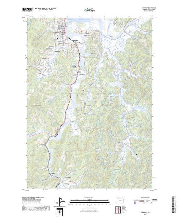
2023 Map of Coos Bay
USGS Topo · Published 2023About this map
Coos Bay and its industrial waterfront define this coastal Oregon landscape, where the confluence of the Coos River and several major sloughs created a complex maritime geography. The primary urban center is surrounded by satellite communities like Englewood, Bunker Hill, and Eastside, each established along the winding waterways of Isthmus Slough and Catching Slough. These tidal channels, once critical for the regional timber and shipping economy, are flanked by high ground including Telegraph Hill and The Buttes. Local history is preserved in numerous burial grounds across the quadrangle, from the Odd Fellows Cem in the north to the Pioneer Cem near Sumner. The interior terrain is marked by a dense network of gulches and creeks, such as Boatman Gulch and Noble Creek, illustrating the transition from the busy shoreline of the Marshfield Range Channel to the forested ridges of the Coast Range.
Find a feature on this map
114 named features on this map. Tap any name to fly to it.
Don’t see what you’re looking for? This feature index may not catch every label — zoom into the map to look around manually.
Map Details
Editions of this 2023 Coos Bay Map
This is the sole edition of this map. No revisions or reprints were ever made.
Other maps of this area

1896 · Coos Bay
USGS Topo · 1:125,000

1898 · Coos Bay
USGS Topo · 1:125,000

1900 · Coos Bay
USGS Topo · 1:125,000

1942 · Empire
USGS Topo · 1:62,500

1942 · Coquille
USGS Topo · 1:62,500

1942 · Coos Bay
USGS Topo · 1:62,500

1943 · Bandon
USGS Topo · 1:62,500

1944 · Empire
USGS Topo · 1:62,500

1944 · Bandon
USGS Topo · 1:62,500

1945 · Coquille
USGS Topo · 1:62,500