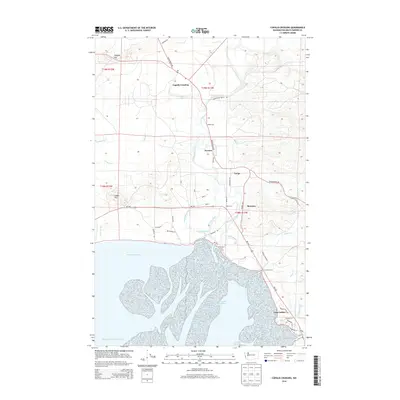
2014 Map of Copalis Crossing
USGS Topo · Published 2014About this map
The Humptulips River dictates the geography of this coastal region, winding through a complex system of sloughs before emptying into the bay. Settlements like Copalis Crossing, Newton, and Tulips are linked by Ocean Beach Rd and the Humptulips Valley Rd, marking the primary corridors of travel and small-town life in Grays Harbor County. The landscape is defined by its low-lying wetlands, including Jessie Slough, Burg Slough, and Kurtz Slough, which intersect with the higher ground of Langley Hill and Saddle Hill. Near the southern reaches, the estuary environment becomes more pronounced with the Campbell Slough Channel and Chenois Creek Channel. This survey provides a clear view of the rural road network and water-driven topography, from Shye Lake in the north to the residential cluster at Gray Gables near the river's mouth.
Find a feature on this map
49 named features on this map. Tap any name to fly to it.
Don’t see what you’re looking for? This feature index may not catch every label — zoom into the map to look around manually.
Map Details
Editions of this 2014 Copalis Crossing Map
This is the sole edition of this map. No revisions or reprints were ever made.
Other maps of this area
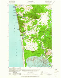
1938 · Moclips
USGS Topo · 1:62,500
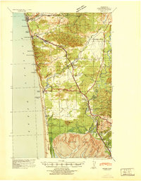
1941 · Moclips
USGS Topo · 1:62,500
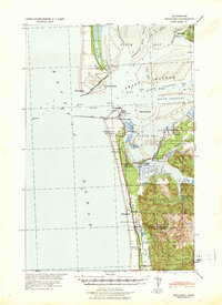
1941 · Grayland
USGS Topo · 1:62,500
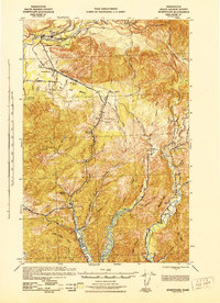
1943 · Humptulips
USGS Topo · 1:62,500
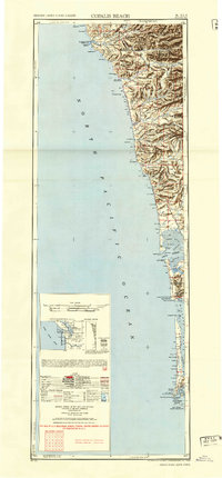
1943 · Copalis Beach
USGS Topo · 1:250,000
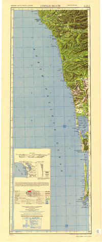
1951 · Copalis Beach
USGS Topo · 1:250,000
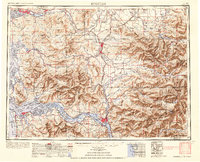
1953 · Hoquiam
USGS Topo · 1:250,000
1955 · Humptulips
USGS Topo · 1:62,500
1955 · Point Brown
USGS Topo · 1:24,000
1955 · Carlisle
USGS Topo · 1:24,000