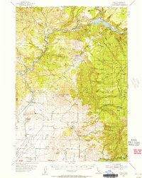
1954 Map of Copco
USGS Topo · Published 1956About this map
The Klamath River carves a deep course through the northern portion of this Siskiyou County landscape, defined by the reservoir at Copco Lake and the rugged volcanic terrain of the Shasta Valley. Settlement patterns in the mid-1950s are concentrated along the Southern Pacific rail line and the valley floor, where small communities like Ager and Snowdon contrast with the higher elevations of Bogus Mountain and Terwilliger Peak.
Find a feature on this map
60 named features on this map. Tap any name to fly to it.
Don’t see what you’re looking for? This feature index may not catch every label — zoom into the map to look around manually.
Map Details
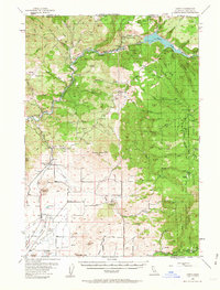
Editions of this 1954 Copco Map
2 editions found
Other maps of this area

1886 · Shasta
USGS Topo · 1:250,000

1891 · Ashland
USGS Topo · 1:250,000

1893 · Ashland
USGS Topo · 1:250,000

1894 · Shasta
USGS Topo · 1:250,000

1897 · Ashland
USGS Topo · 1:250,000

1922 · Shasta Valley Sheet No 12
USGS Topo · 1:24,000

1922 · Shasta Valley Sheet No 4
USGS Topo · 1:24,000

1922 · Shasta Valley Sheet No 13
USGS Topo · 1:24,000

1922 · Shasta Valley Sheet No 16
USGS Topo · 1:24,000

1922 · Shasta Valley Sheet No 15
USGS Topo · 1:24,000