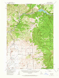
1954 Map of Copco
USGS Topo · Published 1963About this map
The Klamath River carves a central path through this Siskiyou County landscape, documented during a pivotal era of hydroelectric development. The terrain is dominated by high points like Bogus Mountain and Daggett Mtn, overlooking the waters of Copco Lake and the newly forming Iron Gate Reservoir. The map includes a significant notation showing areas intended for submergence by the Iron Gate Dam, offering a rare look at the original canyon floor before the reservoir reached its full elevation. Transportation and industry are anchored by the Southern Pacific railroad corridor, which passes through the small community of Ager. Rural life is marked by several neighborhood education centers, including the Willow Creek School and the Bogus Sch, as well as the Foothill Sch (Aban'd), indicating shifts in the local population. To the east, the boundary of the Shasta National Forest meets the rugged slopes of Black Rock.
Find a feature on this map
82 named features on this map. Tap any name to fly to it.
Don’t see what you’re looking for? This feature index may not catch every label — zoom into the map to look around manually.
Map Details
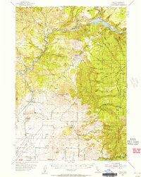
Editions of this 1954 Copco Map
2 editions found
Other maps of this area

1886 · Shasta
USGS Topo · 1:250,000

1891 · Ashland
USGS Topo · 1:250,000

1893 · Ashland
USGS Topo · 1:250,000

1894 · Shasta
USGS Topo · 1:250,000

1897 · Ashland
USGS Topo · 1:250,000

1922 · Shasta Valley Sheet No 12
USGS Topo · 1:24,000

1922 · Shasta Valley Sheet No 4
USGS Topo · 1:24,000

1922 · Shasta Valley Sheet No 13
USGS Topo · 1:24,000

1922 · Shasta Valley Sheet No 16
USGS Topo · 1:24,000

1922 · Shasta Valley Sheet No 15
USGS Topo · 1:24,000