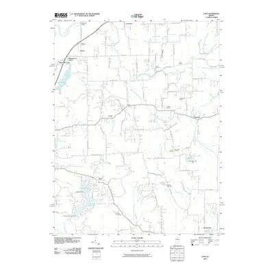
2010 Map of Cope
USGS Topo · Published 2010About this map
White River and its intricate network of tributaries define the landscape of northern Morgan County, where the Henderson Bridge crosses the river near the settlement of Adams. The terrain is characterized by a series of north-south flowing creeks, including North Prong Stotts Creek and Buck Creek, creating a corrugated topography that historically dictated the placement of homesteads and small crossroads communities like Cope and Exchange. The presence of numerous family-named cemeteries, such as Thompson Cemetery and Brian Cemetery, provides a genealogical map of early settlers across this rural area.
Find a feature on this map
93 named features on this map. Tap any name to fly to it.
Don’t see what you’re looking for? This feature index may not catch every label — zoom into the map to look around manually.
Map Details
Editions of this 2010 Cope Map
This is the sole edition of this map. No revisions or reprints were ever made.
Other maps of this area

1942 · Franklin
USGS Topo · 1:125,000

1947 · Franklin
USGS Topo · 1:62,500

1948 · Trafalgar
USGS Topo · 1:24,000

1948 · Hindustan
USGS Topo · 1:24,000

1948 · Fruitdale
USGS Topo · 1:24,000

1948 · Morgantown
USGS Topo · 1:24,000

1950 · Morgantown
USGS Topo · 1:24,000

1950 · Franklin
USGS Topo · 1:62,500

1952 · Bargersville
USGS Topo · 1:24,000

1953 · Indianapolis
USGS Topo · 1:250,000